landschaftsfotos.eu Linie landschaftsfotos.eu
Hello guest, you are not logged in. Log in | Create account 
Forum   Contact   Legal notice
German English 

Photos by Christopher Pätz
245 Photos
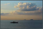
In the Sea of Marmara near Istanbul lie the Princes' Islands, a small group of islands that are also a district of the metropolis. Numerous ferries connect the islands to the mainland even early in the morning. (09.09.2019)
Christopher Pätz

T�i / Regionen / Schwarzes Meer

332 1200x809 Px, 08.11.2019

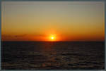
Sunset on the Black Sea. (08.09.2019)
Christopher Pätz

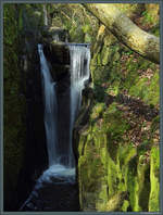
The Stavehøl, Bornholm's largest waterfall, is located in a forest near Østerlars. (25.04.2019)
Christopher Pätz

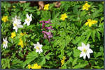
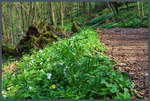
Wood anemones and spear helleborine in a forest on Bornholm. (25.04.2019)
Christopher Pätz

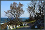
Strong winds on 23.04.2019 create foam crests on the north coast of Bornholm. The narrow road connects the lighthouse  Hammerodde Fyr  with Sandvig (in the background).
Strong winds on 23.04.2019 create foam crests on the north coast of Bornholm. The narrow road connects the lighthouse "Hammerodde Fyr" with Sandvig (in the background).
Christopher Pätz

D䮥mark / Bornholm / K�nlandschaften

303 1200x810 Px, 08.07.2019

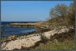
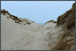
Beach section at Hammerodde near the northern tip of Bornholm. (23.04.2019)
Christopher Pätz

D䮥mark / Bornholm / K�nlandschaften

280 1200x809 Px, 08.07.2019

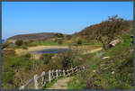
A beautiful hiking trail runs along the cliff coast around the Hammeren peninsula at the northwest tip of Bornholm. A small pond is passed near the ruins of Hammershus. (23.04.2019)
Christopher Pätz

D䮥mark / Bornholm / K�nlandschaften

329 1200x809 Px, 30.06.2019

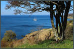
A sailing ship is anchored off the cliff coast near the Hammershus castle ruins. (23.04.2019)
Christopher Pätz

D䮥mark / Bornholm / K�nlandschaften

301 1200x810 Px, 30.06.2019

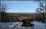
From the Stecklenburg, the view extends over the village of Stecklenberg (foreground), with Neinstedt adjoining behind it. In the background, the foothills of the Huy can be seen. (19.01.2019)
Christopher Pätz

Deutschland / Sachsen-Anhalt / Harz

434 1200x760 Px, 04.02.2019

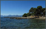
The island of Sainte-Marguerite off the coast of Cannes offers numerous beautifully situated coves on its southern side. In the background along the coast rises the Esterel mountain range. (28.09.2018)
Christopher Pätz

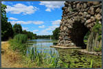
At the eastern end of Lake Wörlitz is Stein Island. (Wörlitz, 01.07.2018)
Christopher Pätz

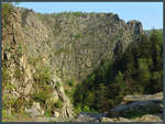
The Bodetal is one of the oldest nature reserves in Germany. Due to its impressive rock gorges, it is a popular hiking destination in the Harz. (21.04.2018)
Christopher Pätz

Deutschland / Sachsen-Anhalt / Harz

534 1200x906 Px, 26.05.2018

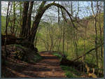
Wanderweg durch das Bodetal bei Thale. (21.04.2018)
Christopher Pätz

Deutschland / Sachsen-Anhalt / Harz

549 1200x907 Px, 26.05.2018

Countless wood anemones are blooming in the Bodetal near Thale. (21.04.2018)
Christopher Pätz

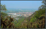
View from the Hexentanzplatz over the town of Thale. (21.04.2018)
Christopher Pätz

Deutschland / Sachsen-Anhalt / Harz

577 1200x760 Px, 26.05.2018

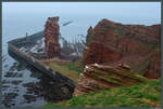
The 47 m rock  Lange Anna  is the landmark of Helgoland. It was formed in 1860 by the collapse of a sea arch. (14.04.2018)
The 47 m rock "Lange Anna" is the landmark of Helgoland. It was formed in 1860 by the collapse of a sea arch. (14.04.2018)
Christopher Pätz

Deutschland / Schleswig-Holstein / Insel Helgoland

444 1200x809 Px, 13.05.2018

Tidal flat path on the island of Düne near Helgoland. (14.04.2018)
Christopher Pätz

Deutschland / Schleswig-Holstein / Insel Helgoland

390 1200x809 Px, 12.05.2018

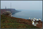
View from Lummenfelsen to the lighthouse and the Helgoland transmitter. (Helgoland, 13.04.2018)
Christopher Pätz

Deutschland / Schleswig-Holstein / Insel Helgoland

383 1200x810 Px, 12.05.2018

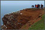
An attraction of Heligoland is the densely bird-populated Guillemot Cliff. (13.04.2018)
Christopher Pätz

Deutschland / Schleswig-Holstein / Insel Helgoland

344 1200x809 Px, 12.05.2018

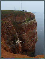
The guillemot cliff on Helgoland is one of the smallest nature reserves in Germany, covering only 1.1 hectares, and serves as a nesting site for numerous birds. In the background, the lighthouse and the Helgoland transmitter can be seen. (Helgoland, 13.04.2018)
Christopher Pätz

South of Magdeburg, the Elbe splits into several river branches. These surround the Elbe island Werder, where the Rotehorn City Park is located. To the right runs the Old Elbe, while in the distance the towers of Magdeburg Cathedral can be seen. (30.03.2018)
Christopher Pätz

Deutschland / Sachsen-Anhalt / Magdeburger B�

380 1200x760 Px, 19.04.2018

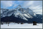
The 2417 m high Sonnenspitze towers over the houses and haystacks of the Ehrwald community. (03.03.2018)
Christopher Pätz

ֳterreich / Berge / Sonstige

369 1200x809 Px, 18.03.2018

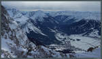
From the west flank of the Zugspitze, the town of Ehrwald can be seen. From left to right, the mountains Sonnenspitze (2417 m), Wannig (2493 m), and Grubigstein (2233 m) rise. (near Ehrwald, 03.03.2018)
Christopher Pätz

ֳterreich / Berge / Sonstige

400 1200x688 Px, 18.03.2018

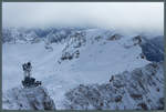
Approaching clouds lie just above the 2875 m high Schneefernerkopf, which, like the Zugspitze, is located on the German-Austrian border. (03.03.2018)
Christopher Pätz

Deutschland / Bayern / Wettersteingebirge

428 1200x809 Px, 18.03.2018