landschaftsfotos.eu Linie landschaftsfotos.eu
Hello guest, you are not logged in. Log in | Create account 
Forum   Contact   Legal notice
German English 

Photos by Christopher Pätz
245 Photos
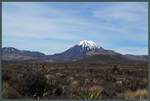
The Tongariro massif is a collection of active volcanoes that have been part of a national park since 1894. On the left is Mount Ngauruhoe, 2291 m high, known as the  Mount Doom  from The Lord of the Rings. (18.10.2016)
The Tongariro massif is a collection of active volcanoes that have been part of a national park since 1894. On the left is Mount Ngauruhoe, 2291 m high, known as the "Mount Doom" from The Lord of the Rings. (18.10.2016)
Christopher Pätz

Neuseeland / Nordinsel / Alles

400 1200x809 Px, 28.11.2016

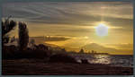
Sunset at Lake Taupo. (17.10.2016)
Christopher Pätz

Neuseeland / Nordinsel / Alles

368 1200x688 Px, 28.11.2016

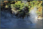
Volcanic gases constantly emerge at Rotorua. This is impressively demonstrated in the bubbling mud pools. (17.10.2016)
Christopher Pätz

Neuseeland / Nordinsel / Alles

384 1200x809 Px, 28.11.2016

A volcanic mud pool near Rotorua. Here, hot sulfur gases bubble up to the surface. (17.10.2016)
Christopher Pätz

Neuseeland / Nordinsel / Alles

386 1200x809 Px, 28.11.2016

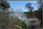
One of the hot sulfur springs in Kuirau Park in Rotorua. (17.10.2016)
Christopher Pätz

Neuseeland / Nordinsel / Alles

403 1200x809 Px, 26.11.2016

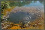
The city of Rotorua is located on the edge of one of New Zealand's largest geothermal fields. Here you can see one of the hot sulfur springs in Kuirau Park. (17.10.2016)
Christopher Pätz

Neuseeland / Nordinsel / Alles

369 1200x810 Px, 26.11.2016

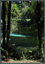
The Hamurana Springs Reserve is a scenic park with numerous small springs at Lake Rotorua. (17.10.2016)
Christopher Pätz

Neuseeland / Nordinsel / Alles

387 632x900 Px, 26.11.2016

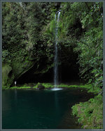
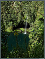
Kaiate Falls near Tauranga. (16.10.2016)
Christopher Pätz

Neuseeland / Nordinsel / Alles

378 726x900 Px, 26.11.2016

Kaiate Falls near Tauranga. (16.10.2016)
Christopher Pätz

Neuseeland / Nordinsel / Alles

375 682x900 Px, 26.11.2016

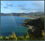
A rain shower creates a beautiful rainbow near the village of Cooks Beach. From Shakespeare Cliff, you can first see the dreamy Lonely Bay, with Cooks Bay behind it. (15.10.2016)
Christopher Pätz

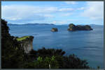
In front of the cliff coast at Hahai, the two islands Poikeke Island and Motueka Island rise from the water alongside numerous smaller rocks. In the background, the Mercury Islands can be seen. (15.10.2016)
Christopher Pätz

Neuseeland / Nordinsel / Alles

390 1200x809 Px, 22.11.2016

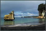
The sandstone cliffs of Merkury Bay near Cathedral Cove were formed by the erosion of softer rock layers. This area has been a marine reserve since 1993. (near Hahei, 15.10.2016)
Christopher Pätz

Neuseeland / Nordinsel / Alles

378 1200x809 Px, 22.11.2016

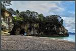
The Cathedral Cove near Hahei is a popular attraction on the Coromandel Peninsula. (15.10.2016)
Christopher Pätz

Neuseeland / Nordinsel / Alles

371 1200x809 Px, 22.11.2016

Beach section at Cathedral Cove near Hahei. (15.10.2016)
Christopher Pätz

Neuseeland / Nordinsel / Alles

346 1200x810 Px, 22.11.2016

Dunes at Ninety Mile Beach, which stretches 88 km along the northern tip of New Zealand's North Island up to Cape Reinga. (13.10.2016)
Christopher Pätz

Neuseeland / Nordinsel / Alles

457 1200x809 Px, 21.11.2016

The most famous landmark of Cape Reinga, the northwesternmost point of New Zealand's North Island, is the lighthouse opened in 1941. Here, the waters of the Pacific Ocean and the Tasman Sea meet. Faintly visible on the horizon above the lighthouse are the Three Kings Islands, which lie about 55 km off the New Zealand coast. (13.10.2016)
Christopher Pätz

Neuseeland / Nordinsel / Alles

481 1200x810 Px, 21.11.2016

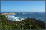
East of Cape Reinga, a cliff coastline stretches for long sections. On the horizon, the northernmost point of New Zealand, the Surville Cliffs, can be glimpsed. (13.10.2016)
Christopher Pätz

Neuseeland / Nordinsel / Alles

524 1200x810 Px, 21.11.2016

View from Cape Reinga over Te Werahi Beach towards Cape Maria van Diemen, the westernmost point of New Zealand's North Island. (13.10.2016)
Christopher Pätz

Neuseeland / Nordinsel / Alles

356 1200x810 Px, 21.11.2016

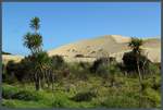
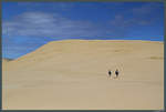
The Te Paki sand dunes up to 50 m high near Cape Reinga. (13.10.2016)
Christopher Pätz

Neuseeland / Nordinsel / Alles

424 1200x810 Px, 20.11.2016

The Te Paki sand dunes, the largest dunes in New Zealand, reach up to 50 meters high and are located near Cape Reinga. (13.10.2016)
Christopher Pätz

Neuseeland / Nordinsel / Alles

390 1200x810 Px, 20.11.2016

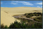
Near Cape Reinga are the Te Paki Sand Dunes, the largest dunes in New Zealand. The eponymous stream separates the dunes from the vegetation. (13.10.2016)
Christopher Pätz

Neuseeland / Nordinsel / Alles

391 1200x809 Px, 20.11.2016

Cable Bay, a small bay near the eponymous town in the north of New Zealand. (13.10.2016)
Christopher Pätz

Neuseeland / Nordinsel / Alles

413 1200x810 Px, 20.11.2016

Opito Bay near Kerikeri is part of the Bay of Islands, which is characterized by its numerous small islands. (12.10.2016)
Christopher Pätz

Neuseeland / Nordinsel / Alles

419 1200x810 Px, 19.11.2016

Te Mimiha Bay, a small bay on the east coast of the North Island. (11.10.2016)
Christopher Pätz

Neuseeland / Nordinsel / Alles

464 1200x809 Px, 19.11.2016