landschaftsfotos.eu Linie landschaftsfotos.eu
Hello guest, you are not logged in. Log in | Create account 
Forum   Contact   Legal notice
German English 

Photos by Günther Glauz†
87 Photos
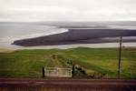
Coast next to the Osar youth hostel in North Iceland in June 1997, on the black peninsula there were many sea lions, the black dots on the shore are some, but most were lying lazily on the shore, their favorite activity, as the host said. I was walking down to the shore when I was attacked by birds nesting on the meadow; they struck my head with their wings. Also, I almost stumbled over a nesting greylag goose on the path.
Günther Glauz†

Iceland / Regions / Northwest Land - Norðurland vestra

889 800x538 Px, 14.02.2007

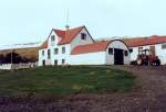
Youth hostel Osar on the north coast of Iceland in June 1997, in Iceland some youth hostels are located on farms, I know two. Here is the old farmhouse youth hostel, the new one, a modern bungalow, stands a little apart. Just like in Scandinavia, all age groups can stay there, hotels are expensive.
Günther Glauz†

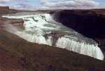
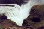
The Gullfoss on the Hvita River about 75 km from Reykjavik, approximately 10 km from the Geysir Strokkur. The upper waterfall is 11 m, the lower one 21 m high and stands at a right angle to the upper one, photographed in June 1997.
Günther Glauz†

Gullfoss on the Hvita River in June 1997.
Günther Glauz†

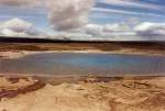
Great Geysir, only 20 m from Strokkur, in June 1997. The geyser was formed during an earthquake in 1294 and was active until 1915, then again after an earthquake in 1935 until the 1950s, and now again from 2000 to the present. However, it only erupts a few times daily with a fountain of about 10 meters. In 1997, it was just a small pool with a water temperature of 60 degrees. All geysers in the world have their name derived from this geyser.
Günther Glauz†

Geysir Strokkur (Eng. Butter Churn), about 70 km east of Reykjavik, in June 1997, one of the one or two small eruptions after the big one, then there is about 10 minutes of calm again. Here you can clearly see why it is important to position yourself on the right side.
Günther Glauz†

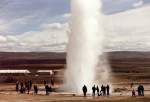
Geysir Strokkur in June 1997, the eruption has occurred, the fountain is about 20 m high, a major eruption occurs approximately every 10 minutes. In 1997, Strokkur was the only geyser in Iceland that was active.
Günther Glauz†

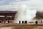
Geysir Strokkur in June 1997, now the eruption is imminent, it is advisable to increase the distance slightly, the water reaches a temperature of about 130 degrees during the eruption.
Günther Glauz†

Geysir Strokkur (aka Butter Churn) about 70 km east of Reykjavik in June 1997. After an eruption, you initially see nothing, then water rises high, disappears again, this happens a few times, with the water rising a bit higher each time. By paying attention to the wind direction, you can get quite close.
Günther Glauz†

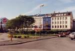
Downtown Reykjavik in June 1997.
Günther Glauz†

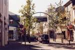
Main street in Reykjavik in June 1997, trees are a rarity in Iceland, I only saw a small forest on the south coast.
Günther Glauz†

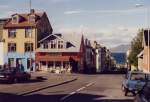
In the center of Reykjavik in June 1997.
Günther Glauz†

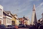
Church in Reykjavik, the capital of Iceland, in June 1997.
Günther Glauz†

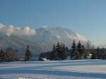
Western Karwendelspitze 2385 m, a cable car leads up from Mittenwald, on the left above the cloud the Tiefkarspitze 2430 m, between them the Larchetfleckspitze 2363 m, taken on 01.02.2003 from Krün.
Günther Glauz†

Germany / Bavaria / Karwendel Mountains

1442 800x600 Px, 12.02.2007

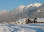
From left to right: Schöttelkopf 1901 m, Schöttelkarspitze 2049 m, Seinskopf 1961 m, in the foreground Krün with a section of the Krün cross-country ski trails, taken on 01.02.2003.
Günther Glauz†

Germany / Bavaria / Karwendel Mountains

1551 800x585 Px, 12.02.2007