landschaftsfotos.eu Linie landschaftsfotos.eu
Hello guest, you are not logged in. Log in | Create account 
Forum   Contact   Legal notice
German English 

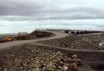
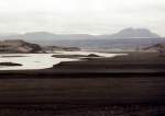
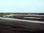
Bridge over the glacier river Skeidarar in the 30 km wide eastern part of the Skeidararsandur in June 1997, the left part of the bridge was destroyed during the glacier outburst flood in November

(ID 297)
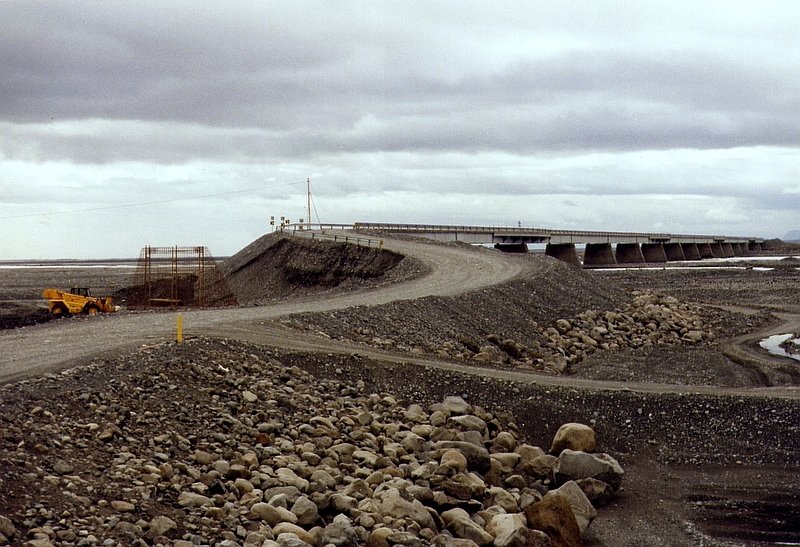

Bridge over the glacier river Skeidarar in the 30 km wide eastern part of the Skeidararsandur in June 1997, the left part of the bridge was destroyed during the glacier outburst flood in November 1996, the flood wave is said to have been up to 40 m high, the coastal shore of the sandur was pushed up to 600 m further into the sea. The access ramp was rebuilt after the flood wave, the provisional ring road had only been passable here again for a few days.

Bridge over the glacier river Skeidarar in the 30 km wide eastern part of the Skeidararsandur in June 1997, the left part of the bridge was destroyed during the glacier outburst flood in November 1996, the flood wave is said to have been up to 40 m high, the coastal shore of the sandur was pushed up to 600 m further into the sea. The access ramp was rebuilt after the flood wave, the provisional ring road had only been passable here again for a few days.

Günther Glauz 23.02.2007, 1160 Views, 0 Comments * automatically translated
0 Comments, All comments


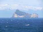
30 islands and skerries form the archipelago of the Westman Islands off the south coast of Iceland. The last ones emerged from the sea only 5,000 years ago. In the background, the sixth largest glacier in Iceland, the Eyjafjallajökull, can be seen. In June 2010, the eruption of this volcano caused major disruptions in European air traffic.
Axel Hofmeister

Island / Regionen / S�nd - Su𵲬and

257 1200x900 Px, 30.04.2022

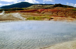
Lead spring at the Great Geysir in Iceland. Slide image. Shot: August 1995.
Hans Christian Davidsen

Island / Regionen / S�nd - Su𵲬and

370 1200x791 Px, 06.06.2016

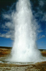
The erupting Great Geyser. The height of its eruptions now reaches only up to 10 meters. Slide photo. Shot: August 1995.
Hans Christian Davidsen

Island / Regionen / S�nd - Su𵲬and

360 786x1200 Px, 06.06.2016

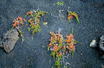
Lava sand with plants near VK in Iceland. Slide image. Shot: August 1995.
Hans Christian Davidsen

Island / Regionen / S�nd - Su𵲬and

453 1200x795 Px, 04.06.2016

More Bilder from "Island / Regionen / Südland - Suğurland"

Bilder from the area
Ísland > Suðurland > Sveitarfélagið Hornafjörður