




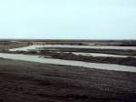
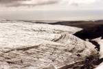
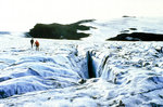
Glacier river Nupsvötn in the western part of the Skeidararsandur in June 1997, behind it the Skeidararjökull (glacier), above it the Skaftafellstjöll (mountains).
(ID 300)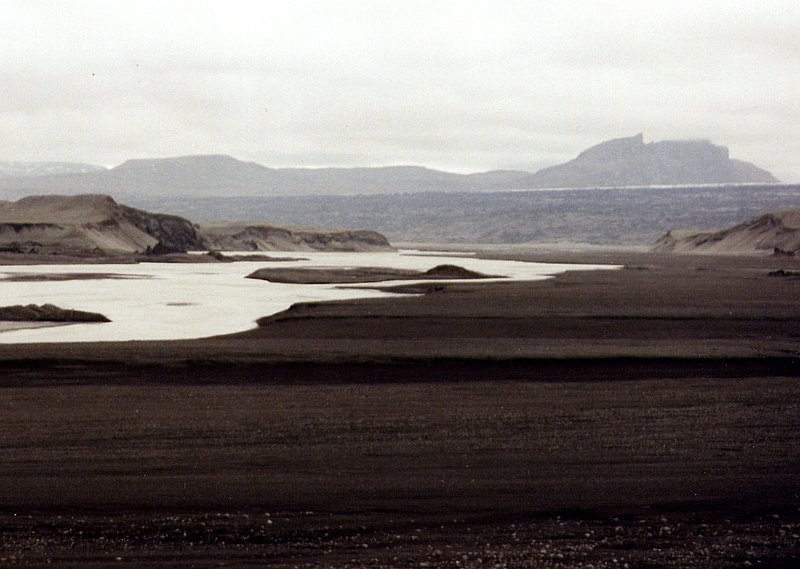
Glacier river Nupsvötn in the western part of the Skeidararsandur in June 1997, behind it the Skeidararjökull (glacier), above it the Skaftafellstjöll (mountains). In this area, the 450 m high glacier lake must have broken through; on the satellite map, the glacier collapse up to the volcano Grimsvötn, 45 km away, can be seen quite clearly.
Günther Glauz† 23.02.2007, 996 Views, 0 Comments * automatically translated
0 Comments, All comments
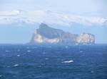
30 islands and skerries form the archipelago of the Westman Islands off the south coast of Iceland. The last ones emerged from the sea only 5,000 years ago. In the background, the sixth largest glacier in Iceland, the Eyjafjallajökull, can be seen. In June 2010, the eruption of this volcano caused major disruptions in European air traffic.
Axel Hofmeister
Axel Hofmeister
Island / Regionen / S�nd - Suand
257 1200x900 Px, 30.04.2022
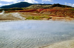
Lead spring at the Great Geysir in Iceland. Slide image. Shot: August 1995.
Hans Christian Davidsen
Hans Christian Davidsen
Island / Regionen / S�nd - Suand
370 1200x791 Px, 06.06.2016
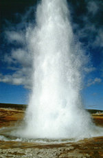
The erupting Great Geyser. The height of its eruptions now reaches only up to 10 meters. Slide photo. Shot: August 1995.
Hans Christian Davidsen
Hans Christian Davidsen
Island / Regionen / S�nd - Suand
360 786x1200 Px, 06.06.2016
Island / Regionen / S�nd - Suand
453 1200x795 Px, 04.06.2016
More Bilder from "Island / Regionen / Südland - Suðurland"
Bilder from the area
Ísland > Suðurland > Skaftárhreppur

0,58 km
12,65 km
21,73 km
22,69 km
51,46 km
57,82 km
60,72 km
60,95 km
62,30 km
68,47 km
70,51 km
71,59 km
75,00 km
78,76 km