Auf Landschaftsfotos.eu hochgeladene Bilder im Mai 2026:
![]()
12. Mai 2026 (1 Image)
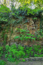
I discovered this rock outcrop in Hattingen at the end of April 2026.
Christian Bremer
15. Mai 2026 (6 Photos)
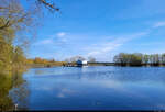
At Brohm in the Mecklenburg Lake District, a dam impounds the Golmer Mühlbach. Around 1970, this created the Brohmer Reservoir, which has since also served recreational purposes.
🕓 12.4.2025 | 11:24 AM
Clemens Kral
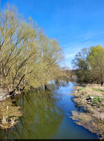
Brohmer Reservoir at the southern end. Built in the early 1970s to dam the Golmer Mühlbach and thus provide farmers with enough irrigation water for their fields, it has mainly been used for fishing and swimming since 1991.
🕓 12.4.2025 | 11:39 AM
Clemens Kral
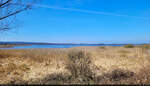
Panorama of Galenbecker Lake near Heinrichswalde. Many birds are native here, so there is no tourist use pursued.
🕓 12.4.2025 | 12:24 PM
Clemens Kral
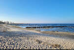
Looks like the Baltic Sea, but it's freshwater: The Szczecin Lagoon in Ueckermünde is located south of the islands of Usedom (DE) and Wolin (PL).
🕓 12.4.2025 | 18:15 hrs
Clemens Kral
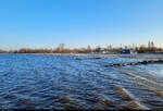
Shore of the Szczecin Lagoon in Ueckermünde, seen from the pier.
🕓 12.4.2025 | 6:45 PM
Clemens Kral
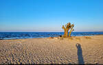
Beach with tree: Evening mood at the Szczecin Lagoon in Ueckermünde with an old willow.
🕓 12.4.2025 | 7:01 PM
Clemens Kral
17. Mai 2026 (10 Photos)
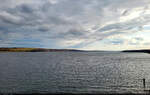
Tollensesee south of Neubrandenburg – 10 kilometers long and only partially visible in its dimensions from the viewpoint at the Belvedere.
🕓 13.4.2025 | 18:07 hrs
Clemens Kral
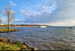
Evening mood on the northern shore of Lake Tollensesee in Neubrandenburg. The passenger ship "Mudder Schulten" is based here.
🕓 13.4.2025 | 6:53 PM
Clemens Kral
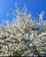
The cherry is in bloom – pure spring in Schwichtenberg in the Mecklenburg Lake District.
🕓 12.4.2025 | 14:57 hrs
Clemens Kral
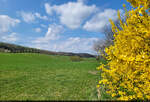
Hills, cumulus clouds, and forsythia: the spring motif in Klepelshagen is complete. The small village is located in the Brohmer Berge landscape protection area.
🕓 14.4.2025 | 11:43 AM
Clemens Kral
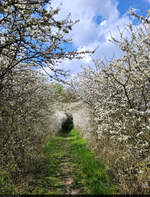
Cherry Blossom Tunnel: at Fuchsberg north of Klepelshagen in the Brohmer Berge landscape protection area.
🕓 14.4.2025 | 12:25 PM
Clemens Kral
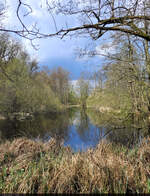
Pond in the Brohmer Berge landscape protection area near Klepelshagen.
🕓 14.4.2025 | 12:28 PM
Clemens Kral
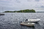
View of the Ox Islands from the beach at Sønderhav (German: Süderhaff). Photo taken: May 17, 2026.
Hans Christian Davidsen
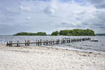
View of the Ox Islands from the beach at Sønderhav (German: Süderhaff). Photo taken: May 17, 2026
Hans Christian Davidsen
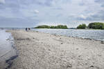
View of the Ox Islands from the beach at Sønderhav (German: Süderhaff). Photo taken on May 17, 2026.
Hans Christian Davidsen
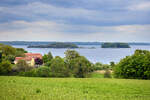
View of the Ox Islands in the Flensburg Fjord from Fjordvejen in Rønshoved. Photo taken: May 17, 2026.
Hans Christian Davidsen
20. Mai 2026 (8 Photos)
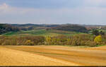
Gentle hills, forest, and little development: landscape of the Brohmer Berge near Klepelshagen.
🕓 14.4.2025 | 12:15 PM
Clemens Kral
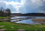
Schmiedegrundsee near Neuensund in the Brohmer Berge landscape protection area. Swimming is possible on the northern shore.
🕓 14.4.2025 | 12:44 PM
Clemens Kral
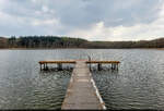
Jetty view: Idyllic scene at Schmiedegrundsee near Neuensund.
🕓 14.4.2025 | 12:51 PM
Clemens Kral
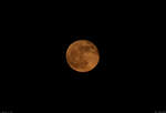
Red full moon, seen with the telephoto lens in Neu-Schönbeck.
🕓 13.4.2025 | 21:39 hrs
Clemens Kral
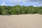
The Boberger Dunes are a unique nature reserve in the east of Hamburg. Here, sand dunes, heath, and moorland converge. Despite the proximity to the big city, the area feels calm and almost desert-like. Visitors find rare plants and a special atmosphere.
Shot: May 19, 2026.
Hans Christian Davidsen
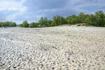
The Boberger Dunes in Hamburg provide habitat for many specialized species. In the sandy areas, drought-resistant plants grow, while insects and birds benefit from the open landscape. The area is ecologically very valuable and is protected.
Photo taken: May 19, 2026.
Hans Christian Davidsen
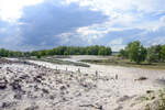
The Boberger Dunes are ideal for walks and short hikes. The paths lead through bright sandy areas and forest sections. Many visitors come to relax, take photographs, or simply enjoy the unique nature right in the middle of Hamburg.
Photo taken: May 19, 2026.
Hans Christian Davidsen
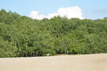
The Boberger Dunes in Hamburg formed after the last Ice Age, when wind deposited large amounts of sand. Today, they are a rare example of an active inland dune in northern Germany. The area impressively demonstrates how landscapes change over millennia.
Photo taken: May 19, 2026.
Hans Christian Davidsen
21. Mai 2026 (9 Photos)
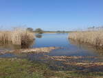
Reed belt at Blankenburger Lake, Uckermark (11.04.2026)
Peter Reiser
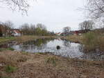
Village pond in Hohenreinkendorf, Uckermark (10.04.2026)
Peter Reiser
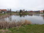
Village pond in Hohenselchow, Uckermark (10.04.2026)
Peter Reiser
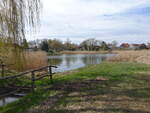
Village Lake in Schmiedeberg, Uckermark (10.04.2026)
Peter Reiser
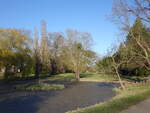
Castle park at Criewen Castle, Uckermark (09.04.2026)
Peter Reiser
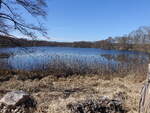
Glambecker Lake near Glambeck, Barnim District (09.04.2026)
Peter Reiser
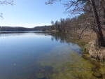
Dovinsee near Glambeck, Barnim district (09.04.2026)
Peter Reiser
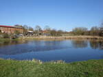
Village Pond Ziegelsee in Landin, Uckermark (09.04.2026)
Peter Reiser
24. Mai 2026 (9 Photos)
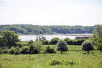
View over the Haddebyer Noor from the ring fort of the former Viking town Haithabu. Photo taken: May 24, 2026.
Hans Christian Davidsen
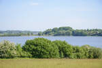
View over the Haddebyer Noor from the ring fort of the former Viking town of Haithabu. Photo taken: May 24, 2026
Hans Christian Davidsen
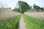
The path through the reed area between Haddebyer Noor and Selker Noor south of the Schlei. Photo taken: May 24, 2026.
Hans Christian Davidsen
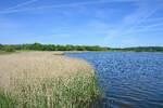
The Noor is connected to the Schlei – a fjord of the Baltic Sea – through two outlets in the north. To the south, the Selker Noor adjoins. Photo taken: May 24, 2026.
Hans Christian Davidsen
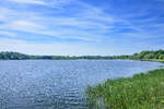
View over Selker Noor south of the Schlei. It is connected in the north via a 10-meter-wide narrow passage to the Haddebyer Noor and thus indirectly to the Schlei. Photo taken: May 24, 2026.
Hans Christian Davidsen
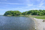
View of the sandy beach at the southern end of Haddebyer Noor, seen from the wooden bridge that crosses the Noor south of the Schlei. Photo taken on May 24, 2026.
Hans Christian Davidsen
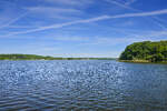
View of the Haddebyer Noor from the wooden bridge at Selker Noor south of the Schlei. Photo taken: May 24, 2026.
Hans Christian Davidsen
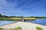
This wooden bridge is located at the point where the Haddebyer Noor south of the Schlei meets the Selker Noor. Photo taken: May 24, 2026.
Hans Christian Davidsen
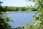
View of the Haddebyer Noor from the hiking trail near Loopstedt south of the Schlei. Photo taken: May 24, 2026.
Hans Christian Davidsen
26. Mai 2026 (1 Image)
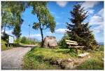
Bench near the train station in Schierke, beautiful view of the Harz, late May 2026
Reiner Spangemacher
28. Mai 2026 (1 Image)
30. Mai 2026 (2 Photos)
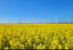
Rapeseed field and wind turbines: The classic spring motif from Saxony-Anhalt is complete. Here between Holleben and Teutschenthal.
🕓 1.5.2025 | 9:45 AM
Clemens Kral
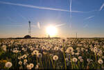
The dandelion blooms cheerfully near Hohenthurm (Landsberg in the Saalekreis).
🕓 1.5.2025 | 19:48 hrs
Clemens Kral