Auf Landschaftsfotos.eu hochgeladene Bilder im Oktober 2024:
![]()
1. Oktober 2024 (10 Photos)
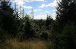
Newly formed mixed forest on the Hahnenkleer Waldstraße, behind it the opposite mountain range beyond the Oder valley; photo taken in the afternoon of 14.09.2024...
Fred Hahn
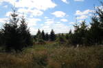
View from the Hahnenkleer Waldstraße over newly established mixed forest to the opposite mountain range beyond the Oder Valley; shot in the afternoon of 14.09.2024...
Fred Hahn
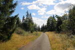
On the trail through the Harz wilderness on the Hahnenkleer Forest Road; shot in the afternoon of 14.09.2024...
Fred Hahn
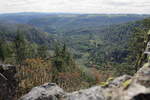
View from the unsecured summit of a rock tower of the Hahnenkleeklippen into the yawning abyss of the Oder Valley and into the expanse of the landscape as far as Thuringia south of the Harz; shot in the afternoon of 14.09.2024...
Fred Hahn
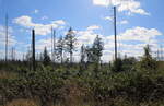
View of the wilderness with decaying skeletons of dead spruces and newly emerging mixed forest along the Hahnenkleer Waldstraße; shot in the late afternoon of 14.09.2024...
Fred Hahn
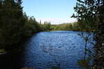
The Silberteich near Braunlage has an incredibly radiant deep blue today; shot in the late afternoon of 14.09.24 on the southwest shore...
Fred Hahn
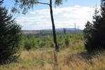
View in the late afternoon of 14.09.24 over the vast landscape southwest of Braunlage with newly grown forest up to the "Stöberhai," a mountain with an observation tower in the southern Harz...
Fred Hahn
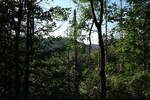
Mixed forest in the early evening high above the Oder Valley in the Harz; shot on 15.09.2024...
Fred Hahn
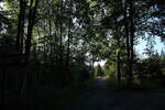
Atmosphere in the early evening of 15.09.2024 on Odertalstraße in the Lower Saxony Harz; view towards the northwest...
Fred Hahn
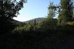
View in the early evening of 15.09.24 of a mountain beyond the Harz Oder Valley...
Fred Hahn
2. Oktober 2024 (2 Photos)
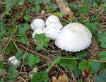
Meadow mushroom, good edible mushroom, common on pastures, from May to October, Sept.2024
rainer ullrich
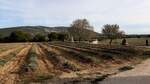
Lavender field of the Maison de la Lavande with an attached lavender museum in the French commune of Saint-Remèze in the Ardèche department. Visited on 15.10.23.
Axel Hofmeister
3. Oktober 2024 (15 Photos)
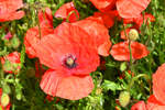
Poppies at the edge of the field in June 2024 - 04.06.2024
Rolf Reinhardt
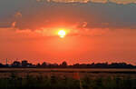
Sunset/Evening Atmosphere at Euskirchen-Kirchheim - 26.06.2024
Rolf Reinhardt
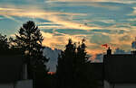
Evening mood/sunset viewed from the roof window between trees and houses into the Eifel - 15.08.2024
Rolf Reinhardt
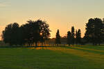
Sunset/evening mood in the soft evening light near Bad Münstereifel - 21.09.2024
Rolf Reinhardt
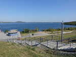
Geiseltalsee near Neumark, Saalekreis (21.09.2024)
Peter Reiser
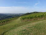
Vineyards near Rehehausen in the Saale-Unstrut-Triasland Nature Park (22.09.2024)
Peter Reiser
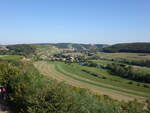
View from Zscheiplitz Monastery over the Unstrut Valley (22.09.2024)
Peter Reiser
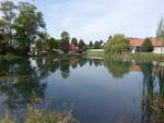
At the village pond of Sittichenbach, Mansfeld-Südharz district (23.09.2024)
Peter Reiser
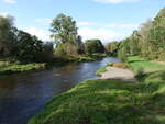
Bode River near Adersleben, Harz District (28.09.2024)
Peter Reiser
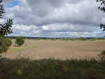
Cereal fields in the Bodetal near Ditfurt, Harz (28.09.2024)
Peter Reiser
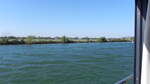
The bank of the Saône on the way to Chalon-sur-Saône, in the Saône-et-Loire department in the Bourgogne-Franche-Comté region on 13.10.23.
Axel Hofmeister
6. Oktober 2024 (5 Photos)
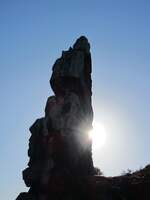
Single sandstone rock of the Devil's Wall (Harz) backlit on 29.09.2024.
Rico Christmann
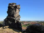
Single sandstone rock of the Devil's Wall in the Harz foothills on 29.09.2024.
Rico Christmann
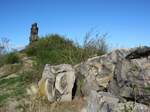
Rock formation of the Devil's Wall in the northern Harz foothills on 29.09.2024.
Rico Christmann
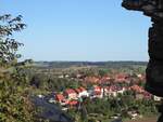
View from the Devil's Wall in the northern Harz foreland towards Weddersleben on 29.09.2024.
Rico Christmann
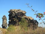
At the Devil's Wall. It is a sandstone formation in the northern Harz foothills. Over a length of about 20 km, bizarre rocks rise up. These have proper names such as "King's Stones," "Papen Stones," or "Hamburger Coat of Arms." Photo taken on 29.09.2024.
Rico Christmann
7. Oktober 2024 (6 Photos)
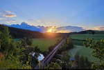
Surrounded by gray clouds, the sun sets at Dollnstein Stupberg in the Altmühl Valley.
🕓 24.5.2024 | 8:37 PM
Clemens Kral
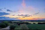
Evening sky over the former quarry of Eichstätt.
🕓 25.5.2024 | 9:13 PM
Clemens Kral
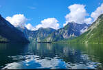
By boat across the Königssee... simply wonderful. The view wanders over the Berchtesgaden Alps.
🕓 26.5.2024 | 9:33 AM
Clemens Kral
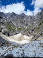
From the ice chapel at Königssee, you can look up to the Watzmann.
🕓 26.5.2024 | 11:29 AM
Clemens Kral
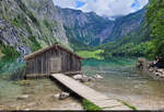
Southeast of the Königssee lies the Obersee. It is surrounded, among others, by the Teufelshörner and the Röthbachfall. This image shows the west shore with the fisherman's hut.
🕓 26.5.2024 | 13:38 Uhr
Clemens Kral
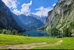
East shore of the Obersee with the Fischunkelalm in the foreground and the cloud-covered Watzmann in the background.
🕓 26.5.2024 | 16:12 hrs
Clemens Kral
8. Oktober 2024 (7 Photos)
Just before sunrise, where light mist still hangs over the fields, on 06.10.2024 near Wiltz(L)
De Rond Hans und Jeanny
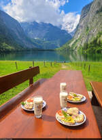
Snack with a view: at the Fischunkelalm on the Obersee (Berchtesgadener Land).
🕓 26.5.2024 | 15:27 hrs
Clemens Kral
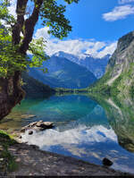
Crystal-clear Obersee, in which, among others, the Watzmann is reflected.
🕓 26.5.2024 | 16:23 hrs
Clemens Kral
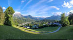
Surrounded by mountains: the market town of Berchtesgaden.
Panoramic shot above the center.
🕓 26.5.2024 | 19:29 hrs
Clemens Kral
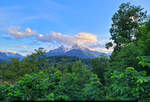
The Watzmann massif in the evening, seen from Berchtesgaden.
🕓 26.5.2024 | 8:16 PM
Clemens Kral
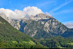
The Hohe Göll measures 2522 meters, located on the border between Germany and Austria, and can be observed from Berchtesgaden.
🕓 26.5.2024 | 19:33 hrs
Clemens Kral
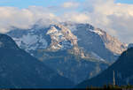
Evening sun rays on the mountains of the Steinernes Meer south of Berchtesgaden.
🕓 26.5.2024 | 7:35 PM
Clemens Kral
12. Oktober 2024 (5 Photos)
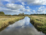
The Königsau photographed north of the village of Københoved. As early as the 13th century, the Kongeå together with the Kolding Å formed the border between the Duchy of Schleswig and the Kingdom of Denmark. From the 16th century until 1850, the Kongeå was a customs border between Schleswig and Denmark. Although both areas belonged to the Danish realm and were under the Danish king, customs had to be paid when crossing the border. After Denmark's defeat against Prussia and Austria in the German-Danish War of 1864 and due to the Treaty of Vienna of October 30, 1864, the Kongeå between Fårkrog and Villebøl formed a partial border between Denmark and Prussia, and from 1871 the German Empire.
Shot: October 11, 2024.
Hans Christian Davidsen
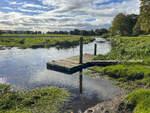
The Königsau near Foldingbro. The Au is a 65-kilometer-long watercourse that flows from east to west through South Jutland and forms the historical border between North Schleswig and the Kingdom of Denmark.
Shot: October 11, 2024.
Hans Christian Davidsen
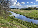
The Königsau at Foldingbro. Along the river course of the Kongeå, a hiking trail (Danish Kongeåstien) has been established. The Kongeå hiking trail is a simple footpath, but it is clearly marked with posts, so you cannot get lost. The hiking trail is a total of 67 kilometers long and equipped with information boards at interesting points. A total of 14 route sections are described in detail. Simple wooden shelters along the way can be used for overnight stays.
Photo taken: October 11, 2024.
Hans Christian Davidsen
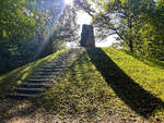
When Denmark had to cede North Schleswig to Prussia in 1864, the Königsau (Danish Kongeåen) became the state border. From Skibelund Krat, one could look south over the North Schleswig landscape. Especially farmers and schoolteachers made Skibelund Krat a national meeting place for Danish-minded people north and south of the border.
Photo taken: October 11, 2024.
Hans Christian Davidsen
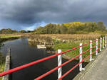
The Königsaus as seen from the Frihedsbroen (German "Freedom Bridge"). The view is directed towards the west.
Shot: October 11, 2024:
Hans Christian Davidsen
15. Oktober 2024 (2 Photos)
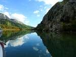
Boat trip on the Cetina River near Omiš; 241009
JohannJ
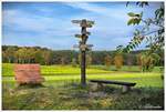
On a hill in the moor near Ostervesede in the district of Rotenburg-Wümme (Heiderand area) in mid-October 2024.
Reiner Spangemacher
18. Oktober 2024 (2 Photos)
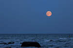
Full moon in front of Sassnitz with "Little Helgoland" in the foreground. - 17.10.2024
Gerd Wiese
20. Oktober 2024 (2 Photos)
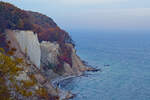
Autumnally decorated chalk cliffs in Jasmund National Park. - 20.10.2024
Gerd Wiese
21. Oktober 2024 (6 Photos)
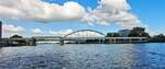
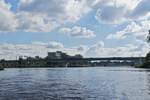
View down the Meuse River in Maastricht, featuring the railway bridge on the Maastricht (NL) to Hasselt (B) line; whether it is still in operation is beyond my knowledge. 10.2024
De Rond Hans und Jeanny
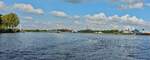
View over the Meuse towards Berg near Maastricht with the Noorderbrug, which was put into operation in November 1984, taken during a boat tour. 10.2024.
De Rond Hans und Jeanny
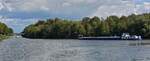
Straight ahead runs the 36 km long Julian Canal, built between 1925 and 1935, visible in the distance is the first lock near Limmel, top left leads to the part of the Meuse that has not been navigable since 1822, in the foreground is the junction with the connecting canal to the Zuid-Willemsvaart. Taken during a tour on the Meuse 10.2024
De Rond Hans und Jeanny
Confluence of the Kanaal Biergen – Neerharen with the Zuid Willemsvaart Canal, which runs mostly through Belgium from Maastricht to Den Bosch in the Netherlands. Construction of this canal began in November 1822 10.2024
De Rond Hans und Jeanny
22. Oktober 2024 (5 Photos)
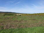
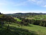
Vineyards near Climbach in the canton of Wissembourg (13.10.2024)
Peter Reiser
View of the village of Lembach in the Haguenau-Wissembourg arrondissement (13.10.2024)
Peter Reiser
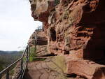
Sandstone rocks at Falkenstein Castle near Philippsbourg (13.10.2024)
Peter Reiser
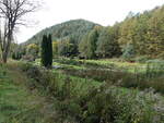
Mambach Pond near Philippsbourg, Bas-Rhin (13.10.2024)
Peter Reiser
23. Oktober 2024 (4 Photos)
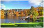
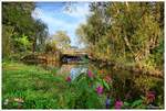
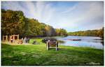
View from the restaurant to the boathouse on Brunausee, Bispingen/Behringen Lüneburg Heath.
End of October 2024.
Reiner Spangemacher
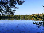
Freiburg, the autumnal Moosweiher in the evening light, Oct. 2024
rainer ullrich
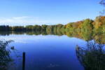
Freiburg, the autumnal Moosweiher in the evening light, Oct. 2024
rainer ullrich
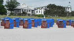
Beach chairs on the beach of Binz on the island of Rügen on 07.06.24.
Axel Hofmeister