Auf Landschaftsfotos.eu hochgeladene Bilder im Mai 2018:
![]()
3. Mai 2018 (11 Photos)
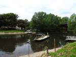
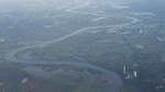
UNDERPASS OF THE SIEG WITH A FERRY AT TROISDORF-BERGHEIM
The Sieg has traveled almost 130 km from its source in the ROTHAAR MOUNTAINS until here at TROISDORF-BERGHEIM, just before its confluence with the RHINE, where it can actually be crossed by one of the last single-person ferries in Germany on a TOW-ROPE FERRY – the song by Chris de Burgh "Don’t pay the ferryman" really does not apply here, because with a river width of about 15 meters, the certainty of reaching the opposite riverbank is 100%... here on 3.5.2018
Hans-Peter Kampmann
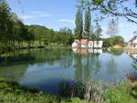
Fish pond at the Cistercian nunnery Lichtenstern (29.04.2018)
Peter Reiser
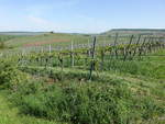
Löwenstein, vineyards in the natural region of the Swabian-Franconian Forest Hills above the Sulm Valley (29.04.2018)
Peter Reiser
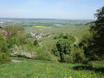
View from the Löwensteiner Mountains over the Sulm Valley (29.04.2018)
Peter Reiser
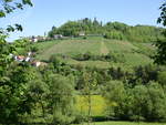
View of the Löwensteiner Berg with Löwenstein Castle (29.04.2018)
Peter Reiser
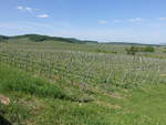
Vineyards in the Sulm Valley near Löwenstein (29.04.2018)
Peter Reiser
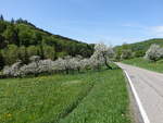
Orchard meadows in the natural region of the Swabian-Franconian Forest Hills near Neunkirchen (29.04.2018)
Peter Reiser
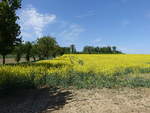
Rapeseed fields near Sindringen in the Hohenlohe district (29.04.2018)
Peter Reiser
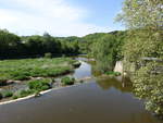
Kocher River near Sindringen, Hohenlohekreis (29.04.2018)
Peter Reiser
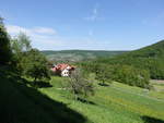
View of the Ohrn Valley near Untersteinbach (29.04.2018)
Peter Reiser
12. Mai 2018 (4 Photos)
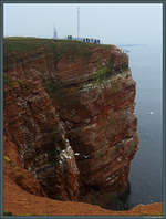
The guillemot cliff on Helgoland is one of the smallest nature reserves in Germany, covering only 1.1 hectares, and serves as a nesting site for numerous birds. In the background, the lighthouse and the Helgoland transmitter can be seen. (Helgoland, 13.04.2018)
Christopher Pätz
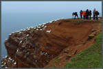
An attraction of Heligoland is the densely bird-populated Guillemot Cliff. (13.04.2018)
Christopher Pätz
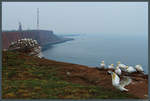
View from Lummenfelsen to the lighthouse and the Helgoland transmitter. (Helgoland, 13.04.2018)
Christopher Pätz
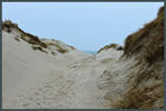
Tidal flat path on the island of Düne near Helgoland. (14.04.2018)
Christopher Pätz
13. Mai 2018 (8 Photos)
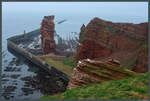
The 47 m rock "Lange Anna" is the landmark of Helgoland. It was formed in 1860 by the collapse of a sea arch. (14.04.2018)
Christopher Pätz
14. Mai 2018 (9 Photos)
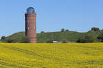
The former direction-finding tower at Cape Arkona between blooming rapeseed fields and the Slavic cult site Jaromarsburg. - 08.05.2018
Gerd Wiese
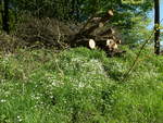
Hamburg on 5.5.2018: By the roadside, landscape management in the Havighorst field area
Harald Schmidt
15. Mai 2018 (1 Image)
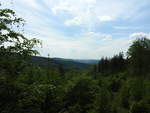
IN THE SIEGERLAND ROTHAAR MOUNTAINS - BETWEEN FOREST AND SKY
Dreamlike views unfold in the Siegerland ROTHAAR MOUNTAINS - here at the top lies
the source area of 3 significant rivers: SIEG-LAHN-EDER..
Down in the valley, in the small village of WALPERSDORF, the
CHARCOAL KILN still smokes, as it did centuries ago, to produce CHARCOAL....on 15.5.2018...
Hans-Peter Kampmann
17. Mai 2018 (9 Photos)
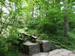
AT THE SOURCE OF THE SIEG IN THE ROTHAAR MOUNTAINS
At this location in the SIEGERLÄNDER ROTHAAR MOUNTAINS above the village of WALPERSDORF
lies the renatured source of the SIEG, restored in 2013, which flows for 155 km
before emptying into the RHINE near MONDORF – just a few kilometers away is the
source pond of the LAHN, the second significant river originating here...
on 15.5.2018
Hans-Peter Kampmann
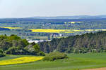
Eifel landscape in spring near Bad Münstereifel - 04.05.2018
Rolf Reinhardt
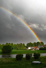
Rainbow after a brief thunderstorm in Odendorf - 30.04.2018
Rolf Reinhardt
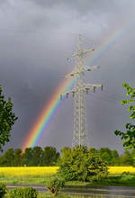
After rain comes sunshine and in between a rainbow, Odendorf 30.04.2018
Rolf Reinhardt
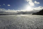
Snow, storm, sun, clouds, and a "tiny human" on the brightly lit snowfield in the center of the image, Eifel 12/10/2017
Rolf Reinhardt
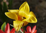
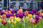
Tulip bloom with insect visitors in the garden - 07.04.2018
Rolf Reinhardt
19. Mai 2018 (10 Photos)
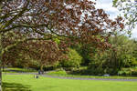
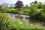
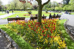
The Phoenix Park is a large park located 3 km northwest of Dublin city center. Covering an area of 808 hectares (8.08 km²) and enclosed by an 11 km long wall, the park is one of the largest urban parks in the world. It is often referred to as the largest urban park in Europe, although Sutton Park near Birmingham (England) and Richmond Park in London (England) are larger.
Photo taken: May 11, 2018.
Hans Christian Davidsen
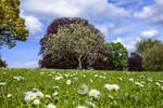
Phoenix Park in Dublin - The name Phoenix Park does not originate from the mythical figure Phoenix, but is a distortion of the Irish word fionnuisce, which means "clear water."
Photo taken: May 11, 2018.
Hans Christian Davidsen
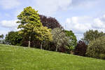
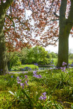
Phoenix Park in Dublin - The park plays an important role in the novel Finnegans Wake by James Joyce.
Shot: May 11, 2018.
Hans Christian Davidsen
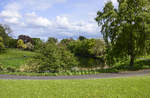
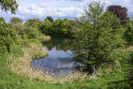
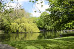
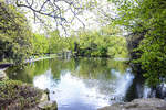
At Furry Glen in Phoenix Park, Dublin. The park is twice the size of Central Park in New York.
Shot: May 11, 2018.
Hans Christian Davidsen
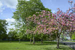
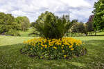
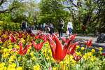
The Phoenix Park is a large park located 3 km northwest of Dublin city center. Photo taken: May 11, 2018.
Hans Christian Davidsen
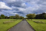
Phoenix Park (Irish: Páirc an Fhionnuisce) is a large park located 3 km northwest of Dublin city center (Ireland) and is the green lung of the city. Covering an area of 808 hectares (8.08 km²) and enclosed by an 11 km long wall, the park is one of the largest urban parks in the world.
Photo taken: May 11, 2018.
Hans Christian Davidsen
20. Mai 2018 (11 Photos)
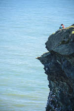
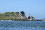
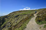
Nose of Howth - The Howth Peninsula is a popular excursion destination for Dubliners and many tourists due to its cliffs with hiking trails. Photo taken: May 12, 2018.
Hans Christian Davidsen
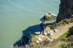
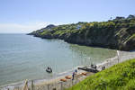
Nose of Howth. The Howth Peninsula is located slightly east of Dublin and is a popular excursion destination for Dubliners and many tourists.
Shot: May 12, 2018.
Hans Christian Davidsen
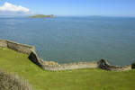
View from Howth over the Irish Sea, which separates the islands of Ireland and Great Britain.
Shot: May 12, 2018.
Hans Christian Davidsen
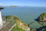
The Irish Sea as seen from Balscadden. Balscadden is a viewpoint east of Howth. Shot: May 12, 2018.
Hans Christian Davidsen
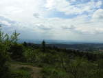
STORM ATMOSPHERE OVER THE FELDBERG/TAUNUS
On the afternoon of May 20, 2018, there was a stormy atmosphere over the "Frankfurt local mountain,"
the Feldberg, which at 881 meters above sea level is the highest peak in the TAUNUS and one of the most distinctive
mid-mountain summits in Germany....
Hans-Peter Kampmann
21. Mai 2018 (10 Photos)
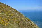
View from the coastal path along the east side of Howth Head on the peninsula east of Dublin. Photo taken: May 12, 2018.
Hans Christian Davidsen
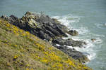
Rocks in front of Howth Head. On the circular tour to the Hill of Howth, you can expect great contrasts – from the stormy, raging sea to peaceful meadows inland.
Photo taken: May 12, 2018.
Hans Christian Davidsen
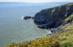
Cliffs on Howth Head - Originally an island, Howth Head is now connected to the mainland by a narrow strip of land. Howth Head forms the northern end of the wide crescent of Dublin Bay, which closes to the south with Killiney Head.
Shot: May 12, 2018.
Hans Christian Davidsen
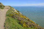
On foot to the Hill of Howth east of Dublin. A half-day trip to the beautiful coastal region is very popular among Dubliners.
Photo taken: May 12, 2018.
Hans Christian Davidsen
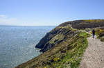
The view of the sea and coastline makes the hike around the Howth peninsula (east of Dublin) an experience.
Shot: May 12, 2018.
Hans Christian Davidsen