Auf Landschaftsfotos.eu hochgeladene Bilder im Oktober 2015:
![]()
10. Oktober 2015 (24 Photos)
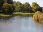
View of the Lusatian Neisse looking south from the old railway bridge at the entrance to Bad Muskau on October 3, 2015.
Klaus-P. Dietrich
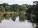
View of the Lusatian Neisse from the new pedestrian bridge (old railway bridge) at the entrance to Bad Muskau looking south.
Klaus-P. Dietrich
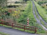
On October 3, 2015, view of the landscape near the Lausitzer Neiße from the old railway bridge.
Klaus-P. Dietrich
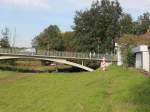
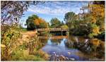
Bridge over the Lusatian Neisse at the border crossing between Bad Muskau and Lugknitz on October 3, 2015.
Klaus-P. Dietrich
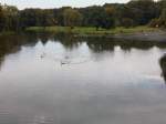
The Lusatian Neisse seen from the bridge at the border crossing between Bad Muskau and Lugknitz on October 3, 2015.
Klaus-P. Dietrich
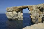
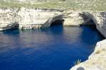
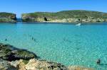
The Azure Window (Maltese Tieqa Żerqa, German Blue Window) is a natural rock arch formed by environmental influences on the west coast of the Maltese island of Gozo. It is approximately 100 meters long and 20 meters high. Photo taken: October 2006.
Hans Christian Davidsen
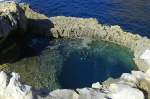
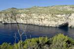
The Dwejra Point area at the "Azure Window" on the island of Gozo is designated as a nature park. Photo: October 2006.
Hans Christian Davidsen
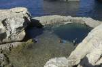
The Dwejra Point area on the island is designated as a nature park. Dwejra Point has been granted the status of "Special Area of Conservation." Photo taken: October 2006.
Hans Christian Davidsen
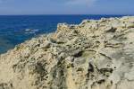
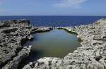
The rock formations at Dwejra Point on the island of Gozo were formed several million years ago. Photo taken: October 2006.
Hans Christian Davidsen
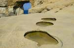
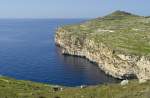
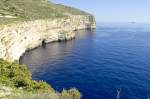
The rocky coast at the "Azure Window" on the island of Gozo consists of coral and globigerina limestone. Photo: October 2016.
Hans Christian Davidsen
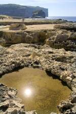
The rock formations at Dwejra Point on the island of Gozo were formed several million years ago. Photo taken: October 2006.
Hans Christian Davidsen
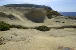
The entire west coast of the island of Gozo represents the last part of a former land bridge between Europe and Africa, which was interrupted about 13,000 years ago at the end of the Würm glaciation. Photo taken: October 2007.
Hans Christian Davidsen
Landscape in the Klettgau on the border with Switzerland, Sept. 2015
rainer ullrich
Landscape in the Klettgau at the border to Switzerland, Sept. 2015
rainer ullrich
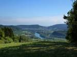
Landscape on the High Rhine with a view of Kaiserstuhl, the smallest town in Switzerland, Sept. 2015
rainer ullrich
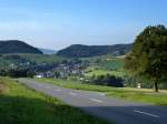
Landscape in the eastern Swiss Jura (Table Jura), with a view of Siglistorf, Sept. 2015
rainer ullrich
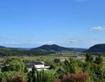
Landscape at the High Rhine, view from Wil in the canton of Aargau towards the south, Sept. 2015
rainer ullrich
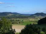
Landscape on the High Rhine, view from Wil in the canton of Aargau looking south, Sept. 2015
rainer ullrich
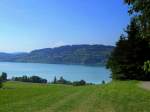
View from the town of Seengen on the northern shore over Lake Hallwil, Sept. 2015
rainer ullrich
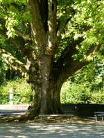
the mighty trunk of a plane tree in front of the Königsfelden monastery church in the canton of Aargau, Sept. 2015
rainer ullrich
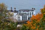
Sellin Pier with autumnal frame. - 07.10.2015
Gerd Wiese
11. Oktober 2015 (15 Photos)
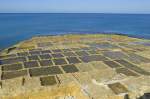
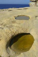
Salt pans on Gozo. Photo: October 2006. The basins on the north coast of Gozo were already carved out of the rock by the Romans and are still used today for salt extraction. The seawater from the rough sea flows into the depressions, where it gradually evaporates. What remains is a layer of salt that is skimmed off.
Hans Christian Davidsen
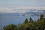
View into the neighboring country: From the Pfänder (Austria) to Lindau (Germany).
19.09.2015)
Christine Wohlfahrt
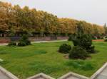
Parts of the park of the Soviet War Memorial in the Schönholzer Heide in Berlin-Pankow seen on October 7, 2015. (Newly Edited)
Klaus-P. Dietrich
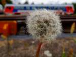
Dandelion clock at Ried station, in the background a railcar of the BR5047; 150927
JohannJ
12. Oktober 2015 (10 Photos)
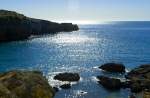
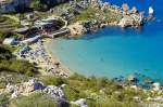
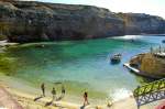
Anchor Bay - The bay at Popeye Village on the island of Malta. The film "Popeye – The Sailor with the Tough Punch" was shot here in 1979. Photo: October 2006.
Hans Christian Davidsen
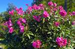
Bougainvillea near Il-Mellieha in Malta. The bougainvillea species originally come from South America. The cultivars thrive in all subtropical areas up to the southern Mediterranean region. Photo taken: October 2006.
Hans Christian Davidsen
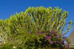
Giant cactus at the Mellieha Holiday Center on the island of Malta. Photo taken: October 2006.
Hans Christian Davidsen
13. Oktober 2015 (11 Photos)
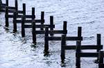
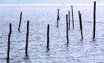
Posts of a bathing bridge in Flensburg Fjord near Egernsund (Ekelsund). In the winter half-year, the walkway of the bridge is stored in a shed. Photo: April 2009.
Hans Christian Davidsen
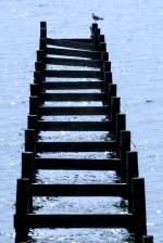
Posts of a bathing bridge in Flensburg Fjord near Egernsund (Ekelsund). In the winter half-year, the walkway of the bridge is stored in a shed. Photo: April 2009.
Hans Christian Davidsen
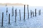
Posts in Flensburg Fjord near Egernsund (Ekensund) with a sailboat in the background. Photo taken: April 2009.
Hans Christian Davidsen
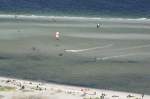
View of surfers on the Kiel Fjord from the tower of the Laboe Naval Memorial. Photo: May 22, 2009.
Hans Christian Davidsen
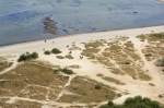
View of the beach and the Kiel Fjord from the observation tower of the Laboe Naval Memorial. Photo taken: May 22, 2009.
Hans Christian Davidsen
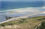
View of the beach and the Kiel Fjord from the observation tower of the Laboe Naval Memorial. Photo taken: May 22, 2009.
Hans Christian Davidsen
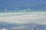
View of surfers and paragliders at the Kiel Fjord from the tower of the Laboe Naval Memorial. Shot: May 22, 2009.
Hans Christian Davidsen
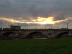
Evening sky over Augustus Bridge and Semperoper; Dresden, 26.09.2015
Volkmar Döring
14. Oktober 2015 (15 Photos)
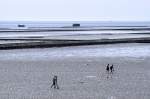
The Wadden Sea at low tide as seen from the dike at Lüttmoorsiel. In the foreground, there are mudflat hikers on their way to Nordstrandischmoor. In the background, the Hallig railway to Nordstrandischmoor and two boats with new materials for the fascines. Photo: May 2008.
Hans Christian Davidsen
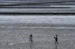
The Wadden Sea at low tide as seen from the dike at Lüttmoorsiel. In the foreground, mudflat hikers are on their way to Nordstranischmoor. Photo: May 2008.
Hans Christian Davidsen
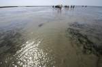
Mudflat hikers on the way from Lüttmoorsiel to Nordstranischmoor. Photo: May 2008. Only the splashing of water can be heard as the mudflat hikers step into small puddles, and the squelching of the mud when the foot sinks into the substrate and is pulled out again. Sometimes the silt is deep
Hans Christian Davidsen
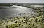
Sluice on the east coast of the Hallig Nordstrandischmoor. Photo: May 2008. The Hallig has four terps, a primary and secondary school (with three students one of the smallest schools in Germany), and a guesthouse.
Hans Christian Davidsen
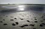
The Wadden Sea at low tide. In the background, the North Frisian Hallig Nordstrandischmoor. Photo: May 2008.
Hans Christian Davidsen
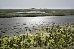
The Hallig Nordstrandischmoor. Photo: May 2008. The Hallig has an area of 1.9 km². 18 people live on Nordstrandischmoor.
Hans Christian Davidsen

The Bahnhofstraße on the North Frisian Hallig Nordstrandischmoor. The street leads from the Warft to the Lore station. Photo: May 2008.
Hans Christian Davidsen
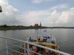
View from the deck of the ferry FRIESLAND towards Medemblick on 7.9.2014 - traveling with the Museum Steam Tram from village to village through the West Frisian flatlands from Medemblick to Hoorn
Harald Schmidt
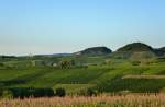
View over the vineyards in the Markgräflerland towards the village of Ballrechten, to the right the Fohrenberg and the Castellberg, Aug. 2015
rainer ullrich
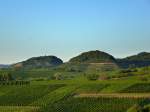
View over the vineyards of the Markgräflerland on the foothills of the Black Forest, on the left the 432m high Fohrenberg, on the right the 440m high Castellberg, Aug. 2015
rainer ullrich
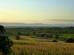
View from the Markgräflerland near Britzingen over the Rhine Plain in the evening light, with the Vosges on the horizon, Aug. 2015
rainer ullrich
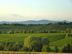
View over the Markgräflerland to the Kaiserstuhl in the evening light, Aug. 2015
rainer ullrich
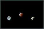
Phases of the lunar eclipse on 28.09.2015: On the left, the full moon is visible on the evening before. In the early morning, it entered the Earth's umbra. The middle image shows the total lunar eclipse, during which the moon turns blood red. The right image shows the partially covered moon at the end of the solar eclipse. (All photos were taken on the night of 27./28.09.2015 in Magdeburg)
Christopher Pätz