landschaftsfotos.eu Linie landschaftsfotos.eu
Hello guest, you are not logged in. Log in | Create account 
Forum   Contact   Legal notice
German English 
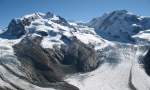
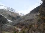
Between the Gorner Glacier and the Grenz Glacier, you can see Nordend (4609 m a.s.l.) and the Dufourspitze (4634 m a.s.l.). In the right part of the image, the summits of three other 4000-meter peaks are also visible: Parrotspitze, Ludwigshöhe, and Liskamm.  
(October 2007)
Between the Gorner Glacier and the Grenz Glacier, you can see Nordend (4609 m a.s.l.) and the Dufourspitze (4634 m a.s.l.). In the right part of the image, the summits of three other 4000-meter peaks are also visible: Parrotspitze, Ludwigshöhe, and Liskamm. (October 2007)
Christine Wohlfahrt

Schweiz / Kanton Wallis / Region Vispert䬥r

1176 800x481 Px, 13.10.2007

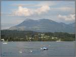
View over Lake Lucerne with the Rigi in the background, taken on 22.07.2007 from the pier in Lucerne.
Thomas Schmidt

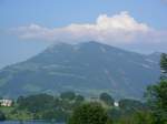
The Rigi as seen from my balcony on the afternoon of June 30, 2006.
Sandro Flückiger

Schweiz / Kanton Luzern / Rigi

1001 800x600 Px, 01.10.2007

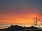
The Rigi in the morning red seen from my balcony on the morning of February 11, 2007.
Sandro Flückiger

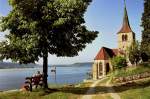
View of Lake Biel. On the right, the church of Ligerz (May 1993).
Hans-Joachim Ströh

Schweiz / Seen / Bieler-, Neuenburger-, Murtensee

1528 800x533 Px, 20.09.2007

Waldbrandstück oberhalb Arbaz (Wallis). Ca. 40 HA Wald sind wegen eines ausser Kontrolle geratenen Grillfeuers abgebrannt.18.04.2007
Lukas Buchmeier

Schweiz / Kanton Wallis / Rh�al

852 800x600 Px, 12.09.2007

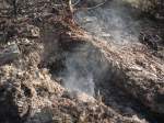
Fünf Tage nach Beginn des Waldbrandes bei Arbaz, am 19.04.2007 waren unter der Erde immer noch Glutnester zu finden.
Lukas Buchmeier

Schweiz / Kanton Wallis / Rh�al

898  5 800x600 Px, 12.09.2007

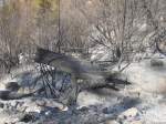
Asche ziert nun den Boden, nachdem eine Feuerbrunst darüber gezogen ist.Bei Arbaz am 18.04.2007
Lukas Buchmeier

Schweiz / Kanton Wallis / Rh�al

832  1 800x600 Px, 12.09.2007

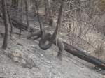
 Schlaufenbaum  in einem abgebrannten Waldstück bei Arbaz am 18.04.2007.
"Schlaufenbaum" in einem abgebrannten Waldstück bei Arbaz am 18.04.2007.
Lukas Buchmeier

Schweiz / Kanton Wallis / Rh�al

728 800x600 Px, 12.09.2007

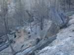
Kahler Boden und Verkohlte Baumstämme hinterliess ein Waldbrand bei Arbaz am 18.04.2007
Lukas Buchmeier

Schweiz / Kanton Wallis / Rh�al

808 800x600 Px, 12.09.2007

Verkohlter Baumstamm nach dem Waldbrand bei Arbaz im Wallis am 17.04.2007
Lukas Buchmeier

Schweiz / Kanton Wallis / Rh�al

875 800x600 Px, 12.09.2007

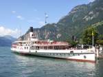
Steamboat Schiller at the Flüelen station on 22.07.2007
Lukas Kryenbühl

Schweiz / Seen / Vierwaldst䤴er See

1477 800x600 Px, 10.09.2007

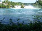
The Rhine Falls near Schaffhausen.
Carsten Kaiser

Schweiz / Kanton Schaffhausen / Rheinf䬬e

2226 800x600 Px, 03.09.2007

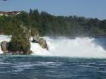
The Rhine Falls near Schaffhausen.
Carsten Kaiser

Schweiz / Kanton Schaffhausen / Rheinf䬬e

2371 800x600 Px, 03.09.2007

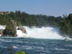
The Rhine Falls near Schaffhausen.
Carsten Kaiser

Schweiz / Kanton Schaffhausen / Rheinf䬬e

1529 800x600 Px, 03.09.2007

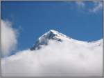
The summit of the Eiger emerges from the clouds. The shot was taken in July 2003 from the Kleine Scheidegg.
Thomas Schmidt

Schweiz / Kanton Bern / Jungfrauenregion

978  2 800x603 Px, 15.08.2007

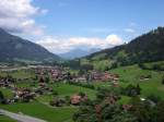
View from the Tellenburg near Frutigen towards Lake Thun. Frutigen lies in the foreground, and in the background, the Sigriswiler Rothorn and Niederhorn can be seen.
Jens Kaubisch

Schweiz / Kanton Bern / Thun, Thunersee

1650 800x600 Px, 11.08.2007

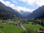
View from the Tellenburg near Frutigen towards the Lötschberg. Below lies Kandergrund and further back Blausee and Kandersteg. (12.07.2007)
Jens Kaubisch

Schweiz / Kanton Bern / Thun, Thunersee

1021 800x600 Px, 11.08.2007

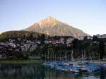
The pyramid of Switzerland and the local mountain of Spiez on Lake Thun - the 2,362m high Niesen. In the foreground, Spiez can be seen. The mountain peak is most easily reached by the longest funicular railway in the world from Mülenen station.
Jens Kaubisch

Schweiz / Kanton Bern / Thun, Thunersee

1653 800x600 Px, 11.08.2007

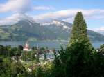
View over Spiez Castle and Lake Thun to the Sigriswiler Rothorn and Niederhorn on 13.07.2007
Jens Kaubisch

Schweiz / Kanton Bern / Thun, Thunersee

1285 800x600 Px, 11.08.2007

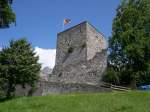
Almost everything that remains of the Tellenburg can be seen here. The tower and part of the fortifications. The Tellenburg is located in the Frutigtal, about 10 km south of Spiez. From the tower, you have a fantastic view over the entire valley, but to the south, the Lötschberg blocks the further view.
Jens Kaubisch

Schweiz / Kanton Bern / Bern

1259 800x600 Px, 10.08.2007

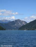
Monte San Salvatore in Lugano on 3.8.07 photographed from Capolago (the lowest town on Lake Lugano).
Silvio Jenny

Schweiz / Kanton Tessin / Lago di Lugano

937 600x800 Px, 09.08.2007

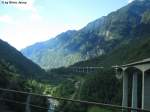
The Biascina Gorge photographed from the train on 3.8.07. On the right side of the image, the large highway bridge. On the left, the 2nd level of the Biascina loop of the Gotthard railway and the cantonal road. In the middle, the Ticino flows southwards, while the lowest level of the Gotthard railway runs parallel to it.
Silvio Jenny

Schweiz / Kanton Tessin / Leventina

1300 800x600 Px, 09.08.2007

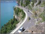
A road (between Interlaken and Thun) clings to the rocks above the northern shore of Lake Thun. (July 2003)
Thomas Schmidt

Schweiz / Kanton Bern / Thun, Thunersee

1059 800x603 Px, 30.07.2007