




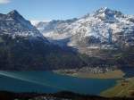
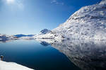
Julier Pass (2284 m) with lake view towards Silvaplana; the European watershed runs along the pass summit: to the east the catchment area of Inn > Danube > Black Sea and to the west the catchment area
(ID 34841)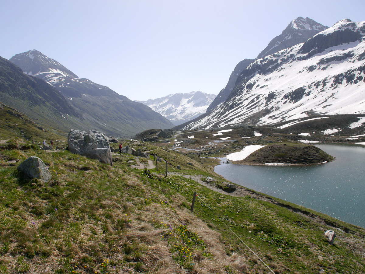
Julier Pass (2284 m) with lake view towards Silvaplana; the European watershed runs along the pass summit: to the east the catchment area of Inn > Danube > Black Sea and to the west the catchment area of Geglia > Albula > Hinterrhein > Rhine > North Sea; Canton of Graubünden, Switzerland; 09.06.2014
Volkmar Döring 29.06.2016, 591 Views, 0 Comments * automatically translated
EXIF: Exposure time: 0.002 s (10/5000) (1/500), Aperture: f/8.0, ISO160, Focal length: 14.00 (140/10)
0 Comments, All comments
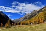
The Val Bever in the Engadin appeared especially beautiful on October 21, 2018, due to the autumnal coloration.
M. Schmid
M. Schmid
Switzerland / Canton of Graubünden / Engadin
471 1200x810 Px, 31.03.2020
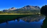
With the Inn River in the foreground, a photo was taken near Samedan in the Engadin on 03.09.2019.
M. Schmid
M. Schmid
Switzerland / Canton of Graubünden / Engadin
291 1200x736 Px, 31.03.2020
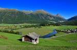
Switzerland / Canton of Graubünden / Engadin
289 1200x790 Px, 30.03.2020
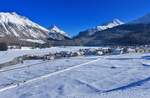
Celerina in the Engadin on 12.11.2016 - thanks to abundant fresh snow in the days before, the region showed its particularly beautiful side.
M. Schmid
M. Schmid
Switzerland / Canton of Graubünden / Engadin
313 1200x781 Px, 30.03.2020
More Bilder from "Schweiz / Kanton Graubünden / Engadin"
Bilder from the area
Schweiz/Suisse/Svizzera/Svizra > Graubünden/Grischun/Grigioni > Albula > Surses

0,02 km
0,02 km
0,02 km
9,25 km
12,52 km
12,88 km
13,32 km
13,54 km
14,84 km
14,90 km
16,48 km
18,25 km
21,08 km
22,01 km
22,09 km
22,32 km
23,56 km
23,90 km
24,01 km