Auf Landschaftsfotos.eu hochgeladene Bilder im Oktober 2015:
15. Oktober 2015 (14 Photos)
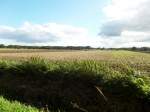
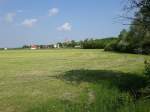
Hamburg on 26.9.2015: Farmland in Havighorst, farmer working his field /
Harald Schmidt
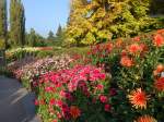
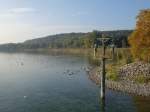
Crucifixion group at the jetty to Mainau Island (03.10.2015)
Peter Reiser
16. Oktober 2015 (13 Photos)
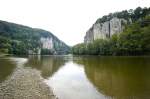
The Danube Breakthrough is a nature reserve near Weltenburg. The gorge is bordered by rock walls up to 80 meters high. Photo: July 2008.
Hans Christian Davidsen
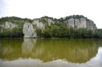
The Danube Gorge near Weltenburg is a nature reserve in the Lower Bavarian district of Kelheim. Photo: July 2008. The area is officially called Weltenburger Enge. The limestone formations bear imaginative names such as The Three Hostile Brothers, Robber Rock, Kuchelfelsen, Petrified Virgin, Bavarian Lion, Bishop's Mitre, Two Kissing Each Other, Roman Rock, Peter and Paul, Beehive (a stone with cavities like honeycombs), Napoleon's Travel Case (which, according to legend, he supposedly forgot during his retreat).
Hans Christian Davidsen
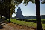
This is the Leipzig Monument to the Battle of the Nations photographed on 10/03/15.
Mathias Starke
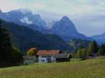
Our vacation in the region around Mittenwald started on the first day with great weather. Our two friends who prefer trains did not want to take on the effort of a hike. However, we were rewarded on our 10 km walk, entirely on foot without any means of transport, with stunning views. View over Gerold towards the Wetterstein Mountains and the Zugspitze. 05.10.2015
Erhard Pitzius
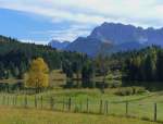
Our vacation in the region around Mittenwald started on the first day with great weather. Our two friends who prefer trains did not want to take on the effort of a hike. However, we were rewarded on our 10 km walk entirely on foot, without any means of transport, with fantastic views. View over Lake Gerold to the Karwendel Mountains. 05.10.2015
Gerold, Municipality of Krün.
Erhard Pitzius
17. Oktober 2015 (11 Photos)
18. Oktober 2015 (11 Photos)
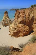
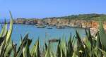
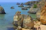
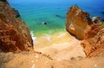
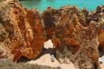
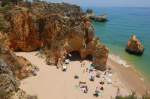
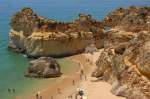
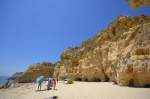
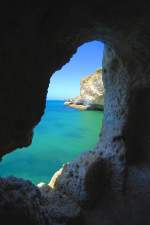
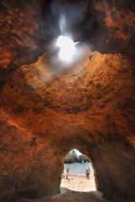
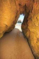
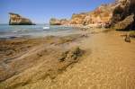
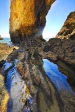
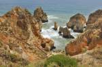
Altar Sec on the Algarve coast. Photo: July 2010. At the edge of the popular holiday resort Carvoeiro, directly by the sea, are the well-known rock formations of Algar Seco. Over thousands of years, wind and waves have created bizarre rock formations.
Hans Christian Davidsen
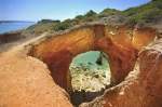
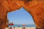
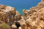
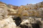
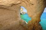
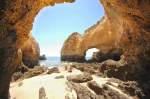
Eroded caves, rock spires, deep grottoes, and plateaus ignite the imagination in Altar Seco on the Algarve coast. Photo: July 2010.
Hans Christian Davidsen
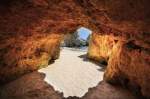
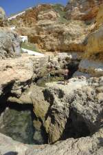
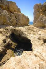
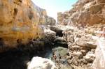
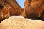
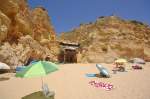
Algar Seco on the Algarve coast. Photo: July 2010. Some stairs and passages have been carved into the rock, allowing you to go on an exploration tour yourself with some skill.
Hans Christian Davidsen
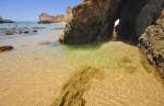
Algar Seco on the Algarve coast. Photo taken: July 2010. The rock formations were created over millennia by wind and waves, which eroded the rocks made of shell limestone.
Hans Christian Davidsen
Algar Seco is a rock formation near the holiday resort of Carvoeiro. The rock formations were created over millennia by wind and waves, which eroded the rocks made of shell limestone. Today, the caves formed in this way are a popular tourist destination in the Algarve. Photo taken: July 2010.
Hans Christian Davidsen
Agtar Seco on the Algarve coast. Photo: July 2010. Wind and weather have shaped this landscape of rock columns, plateaus, and caves over the course of centuries.
Hans Christian Davidsen
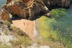
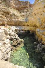
Algar Seco on the Algarve coast. Photo: July 2010. Wind and weather have shaped this landscape of rock columns, plateaus, and caves over the course of centuries. The tides also contribute to making this place appear eerie; a small "mountain lake" rises and falls with the ebb and flow, the sea gurgles from winding caves and crevices; the color of the limestone changes with the sunlight and the position of the sun.
Hans Christian Davidsen
19. Oktober 2015 (18 Photos)
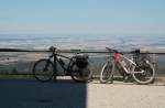
Two bicycles belonging to visitors of the Brocken Museum; behind them, the view extends over northern Germany for about 140 km. On such days, you can directly see the "Kalimandscharo" on the horizon just next to the left edge of the image, a huge potash mining spoil heap about 100 km away. From the Brocken, you can often see several hundred villages and towns... Photo taken in the afternoon of July 21, 2013.
Fred Hahn
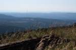
Mountains of the western Upper Harz with Torfhaus and its huge antennas backlit by the afternoon sun; in the background, the view extends to the Weser Uplands Solling and Vogler, 70 - 80 km away. Photo taken on July 21, 2013, on the summit circular trail of the Brocken.
Fred Hahn
View from Horben in the Black Forest to the 645m high Schönberg near Freiburg, Oct. 2005
rainer ullrich
View from Heitersheim in the Markgräflerland towards the Black Forest mountains, with the wine village of Ballrechten and its prominently visible village church in the foreground, Oct. 2015
rainer ullrich
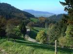
View from the guesthouse "Gotthardthof" over the Markgräflerland to the Kaiserstuhl, Oct. 2015
rainer ullrich
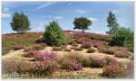
In the valley of the Haverbeeke. The Haverbeeke is the main source river of the Wümme. Southwest of the Wilseder Berg, here we also find the common viper. August 2014
Reiner Spangemacher
20. Oktober 2015 (12 Photos)
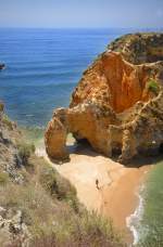
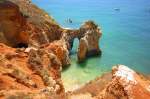
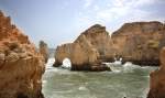
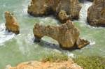
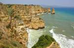
Die Ponta da Piedade ist die Spitze einer steilen Landzunge, die in den Atlantik ragt, eine 20 Meter hohe Felsklippenlandschaft mit versteckten Stränden und Buchten, zwei Kilometer südlich/südwestlich von Lagos (Portugal) . Aufnahme: Juli 2010.
Hans Christian Davidsen
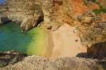
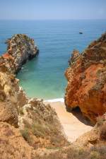
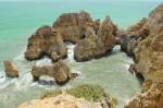
Ponta da Piedade von oben. Aufnahme: Juli 2010. Kleine Pfade führen an kleinen Höhlen und Grotten vorbei, deren Betreten in den meisten Fällen aber zu gefährlich ist. Unten an der Ponta da Piedade befindet sich ein Sandstrand.
Hans Christian Davidsen
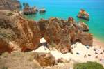
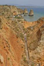
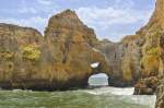
Ponta da Piedade an der Algarve. Aufnahme: Juli 2010. An dem Küstenabschnitt bildete sich eine Landschaft aus Grotten mit Felsformationen, Tunneln, Toren und Felsbrocken, die ins Meer ragen. Zu diesen Felsen kann man über eine steile Treppe mit fast 200 Stufen hinabsteigen.
Hans Christian Davidsen
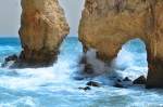
Die Ponta da Piedade besteht aus gelbem Fels. Durch die durch das Meer über Jahrtausende ausgewaschenen Höhlen und Grotten fließt das Meerwasser. Aufnahme: Juli 2010.
Hans Christian Davidsen
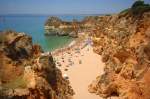
Von den 20 Meter hohen Klippen bei Ponta da Piedade kann man die gesamte Bucht von Lagos mit dem Meia Praia überblicken. Aufnahme: Juli 2010.
Hans Christian Davidsen
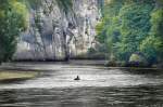
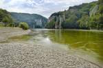
The Danube Gorge near Weltenburg. The breakthrough valley is bordered by rock walls up to 80 meters high, containing numerous smaller caves. Between the so-called Silent Wall and the Long Wall, the river narrows to just 110 meters and reaches a water depth of 20 meters. Photo taken: July 2008.
Hans Christian Davidsen
Autumn morning sun in the forest of Achtermannshöhe; shot from 22.10.2012
Fred Hahn