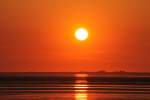
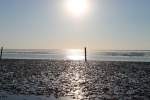
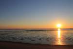
Auf Landschaftsfotos.eu hochgeladene Bilder im August 2012:
![]()
1. August 2012 (2 Photos)
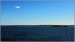
Small islands off the southern coast of Finland, taken during the crossing to Estonia.
(01.05.2012)
Christine Wohlfahrt
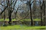
In early May, after the snowmelt, there is still a lot of water in the park of Parnü.
(02.05.2012)
Christine Wohlfahrt
2. August 2012 (9 Photos)
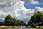
Avenue, street, and "threatening" cloud formation near Rheinbach - 07.07.2012
Rolf Reinhardt
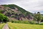
Moselle slopes with the distinctive steep cliffs near Ürzig - 14.05.2012
Rolf Reinhardt
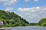
Rhine branch near Nonnenwerth Island with Rolandsbogen on the hill to the left - Rolandswerth 26.06.2012
Rolf Reinhardt
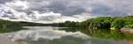
Panoramic shot of the Steinbach Dam between Euskirchen and Bad Münstereifel - 10.06.2012
Rolf Reinhardt
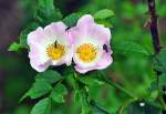
Various insects on a blossom at the Steinbachtalsperre - 10.06.2012
Rolf Reinhardt
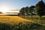
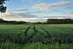
Evening mood in the Voreifel near Bad Münstereifel. Cornfield and trees in the last light of the day - 08.06.2012
Rolf Reinhardt
3. August 2012 (2 Photos)
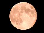
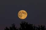
Flight to the FULL MOON; 120802
JohannJ
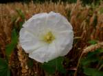
Hedge bindweed (Calystegia sepium, Syn. Convolvulus sepium) blooms alone in the wheat field; 120722
JohannJ
4. August 2012 (16 Photos)
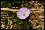
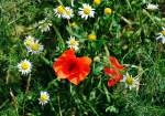
This flower was seen at the edge of a field path near Treuchtlingen. Maybe someone knows exactly which flower this is? (June 16, 2012)
Marcus Haffner
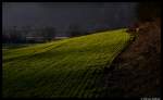
A meadow in evening mood... The photo was taken on March 14, 2012.
Marcus Haffner

A "fireworks fountain" was created at the brewery festival in Roth on May 29, 2010.
Marcus Haffner

High fireworks display after the triathlon in Roth on July 8, 2012.
Marcus Haffner
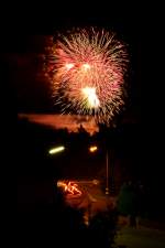
High fireworks display after the triathlon in Roth on July 8, 2012.
Marcus Haffner
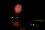
Grand fireworks display after the triathlon in Roth on July 8, 2012.
Marcus Haffner
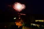
High fireworks display after the triathlon in Roth on July 8, 2012.
Marcus Haffner
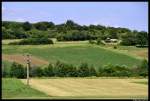
A farmer at work... Somewhere near Treuchtlingen on July 17, 2012.
Marcus Haffner
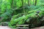
Walk along the Gaishöll Waterfall / Sasbachwalden on 29.07.2012
André Winter
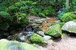
Gaishöll Waterfall near Sasbachwalden on 29.07.2012
André Winter
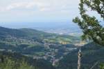
View from Wiedenfelsen over Bühlertal on 29.07.2012
André Winter
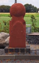
In memory of the great son of the small town of Gangelt in Selfkant, Gerhard Mercator, this stone globe stands as a monument in a small park. The globe marks the locations that also lie on the 51st parallel north.
Andreas Strobel
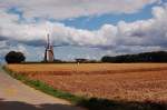
Landscape with windmill near Breberen.......this mill is fully restored and can also grind. For visitors, there is even a café. 29.7.2012
Andreas Strobel
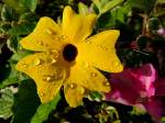
Water droplets cling to the yellow blossom; 120804
JohannJ
5. August 2012 (4 Photos)
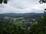
View of the town of Falkenstein in Bavaria on 21.07.2012
Felix B.
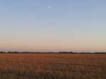
Evening mood in a field in Sassnitz on 19.07.2012
Felix B.
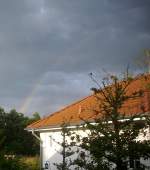
Rainbow over Sassnitz after heavy downpours and a severe thunderstorm on 08/04/2012
Felix B.
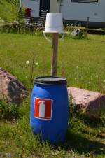
A fire extinguisher (barrel filled with water) at the campsite in Tampere on 13.06.2012.
M. Schiebel
6. August 2012 (10 Photos)
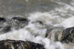
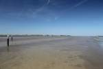
the North Sea at the harbor mole of Norddeich July 2012
Jan Schneider
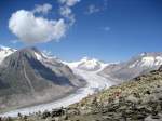
Aletsch Glacier 2009
View from the Eggishorn of the Great Aletsch Glacier, which, with its approximately 23 kilometers in length, is the largest and longest glacier in the Alps.
Hans-Rudolf Stoll
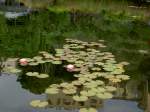
Water lily pond in the Trauttmansdorff Castle Park in Merano (04.08.2012)
Peter Reiser
7. August 2012 (8 Photos)
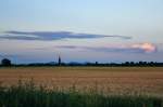
Evening twilight on a mild summer evening with the church silhouette of Odendorf and the Siebengebirge in the background - 07.07.2012
Rolf Reinhardt
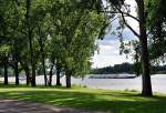
The Rhine riverbank at Bonn-Oberkassel invites you to "relax, sunbathe, and picnic" - 07.07.2012
Rolf Reinhardt
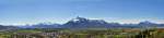
Alpine panorama from Hohenhsalzburg Fortress showing the left Austrian and right German parts - 25.04.2012
Rolf Reinhardt
8. August 2012 (4 Photos)
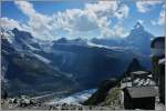
View from the Gornergrat viewpoint of the Matterhorn (4477m above sea level) and the Theodul Glacier.
(03.08.2012)
Christine Wohlfahrt
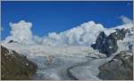
More and more clouds are slowly but surely approaching the Gorner Glacier.
(03.08.2012)
Christine Wohlfahrt
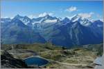
View from the Gornergrat of the mountains: Dent Blanche (4357m above sea level), Ober Gabelhorn (4063m above sea level), Zinalrothorn (4221m above sea level), and Weisshorn (4505m above sea level).
(03.08.2012)
Christine Wohlfahrt
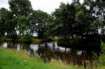
Here, just before the Netherlands, the Wurm and the Rur converge to then flow into the Meuse near Roermond. 5.8.2012
Andreas Strobel
9. August 2012 (6 Photos)
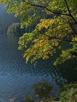
The Black Lake in the Bohemian Forest cannot be completely circumnavigated on foot via walkable paths; at this point, the trail ends at the southern part. Twenty-three years ago, it was not even possible to walk this far; the immediate proximity of the state border to Germany should not give anyone the "wrong" idea. On this 25th of September 2009, only a few remnants of the structures remain where the border guards had to perform their duties.
Thomas Scherf
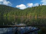
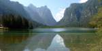
The Black Lake (Černé jezero) in the Bohemian Forest, the largest glacial lake there, with a water surface at an elevation of 1006 meters. The border with Bavaria already runs along the mountain ridge on the left in the background. By the way, on 25.09.2009, you could still find tasty blueberries in the forest there.....
Thomas Scherf
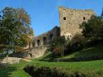
In late summer, the Bohemian Forest is particularly charming; the weather is usually quite reliably good, but not too warm. This was also the case on September 22, 2009, when the sky above the Velhartice ruins left nothing to be desired. The castle, located above the Ostružná river, is currently being restored, but this is done very carefully and without significantly disturbing the (few) visitors.
Thomas Scherf
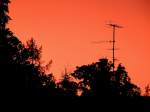
Evening mood shortly before a thunderstorm; 120806
JohannJ
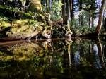
Reflection in a natural stream bed; 120616
JohannJ
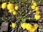
Dandelion (Taraxacum sect. Ruderalia) thrives on a disused siding; 120520
JohannJ
10. August 2012 (12 Photos)
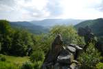
View of the Black Forest Organ Pipes rock formations. (15.06.12)
TH
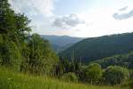
Black Forest Mountains (at the Orgelfelsenhaus, 15.06.12)
TH
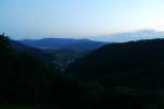
View into the valley towards the illuminated village of Reichental at the Orgelfelsenhaus. (15.06.12)
TH
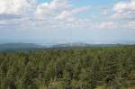
On the Wolfswarte in the Harz National Park; the huge antennas near Torfhaus against the backdrop of the Harz foreland: View in the late afternoon of 04.08.2012 from the rocky ledge of the Wolfswarte looking northeast over the Ilse Valley and the northern Harz foreland to the Elm (left on the horizon) and Huy (right) and beyond...
Fred Hahn
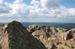
On the Wolfswarte in the Harz National Park; view late afternoon on 04.08.2012 looking north over the Okertal valley to the northern Harz foothills.
Fred Hahn
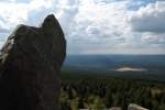
On the Wolfswarte in the late afternoon of 04.08.2012; view over Altenau in the western Upper Harz to the Weser Uplands on the horizon.
Fred Hahn
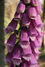
The red foxglove, the jewel of the Upper Harz and the national park in July and August on forest clearings. The perennial of this impressive flower can grow 1 to 2 meters (!) tall... Shot in the late afternoon of August 4, 2012, at the edge of a hiking trail between Wolfswarte and Oderteich.
Fred Hahn
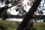
The Oderteich in the Harz National Park backlit by the evening sun; view on the evening of 04.08.2012 from the circular hiking trail on the east shore facing west.
Fred Hahn
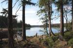
The Oderteich in the Harz National Park on the evening of 04.08.2012; view from the circular hiking trail on the eastern shore looking north over the water surface of the lake.
Fred Hahn
11. August 2012 (1 Image)
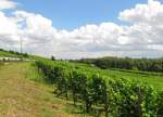
The vineyards near Hattenheim in the Rheingau; 07.07.2012
Frank Thomas
12. August 2012 (3 Photos)
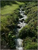
Small streams flow from all sides, like this one into the Mattervispa River.
(11.08.2012)
Christine Wohlfahrt
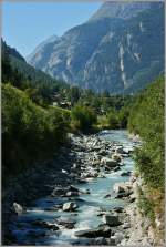
The Mattervispa River accompanies hikers and train passengers on their way to Zermatt.
(11.08.2012)
Christine Wohlfahrt