Auf Landschaftsfotos.eu hochgeladene Bilder im August 2010:
![]()
2. August 2010 (3 Photos)
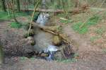
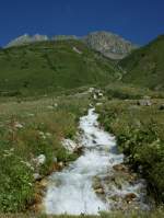
Rheinbraun seeps from this spring. The Trietbach is fed here with water from the Garzweiler II open-pit mine to preserve the broken forest.
Andreas Strobel
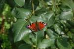
On this rose petal in my garden, this butterfly parked briefly before seeking to fly away. 16.7.2009
Andreas Strobel
3. August 2010 (1 Image)

The blackberries are slowly ripening (3.8.10; Kirkel/Saar)
Benedikt Ost
5. August 2010 (10 Photos)
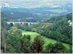
The Luxembourg-Liège railway line with the beautiful bridge near Coo fits perfectly into the landscape of the Belgian Ardennes. 03.08.10
De Rond Hans und Jeanny
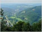
View from the observation tower in Coo over the Belgian Ardennes with the village of Trois-Ponts and the Luxembourg-Liège railway line. 03.08.10
De Rond Hans und Jeanny
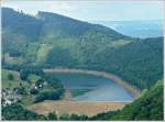
The reservoir of the pumped-storage power plant in Coo, taken from the observation tower on 03.08.10.
De Rond Hans und Jeanny
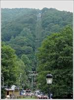
From the amusement park in Coo, a cable car leads to an observation tower that offers a wonderful view over the Belgian Ardennes. 03.08.10
De Rond Hans und Jeanny
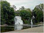
The waterfalls of Coo on the Amel River, with a height of 15 meters, are among the highest in Belgium. The small waterfall has existed since around the 15th century, while the large one was constructed in the 18th century on the orders of the Prince-Abbot of Stavelot, probably to protect Petit-Coo, located by the meander, from flooding. Nowadays, the waterfalls are a tourist attraction, and there is a restaurant and a small amusement park in the little valley. 03.08.10
De Rond Hans und Jeanny
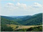
From this perspective, the strategic position of Bourscheid Castle becomes apparent. The photo was taken on 02.08.10 between Schlindermanderscheid and Consthum.
De Rond Hans und Jeanny
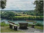
Cozy spot near Liefrange with a view of the Obersauer reservoir and the village of Insenborn. 02.08.10
De Rond Hans und Jeanny
6. August 2010 (1 Image)
8. August 2010 (2 Photos)
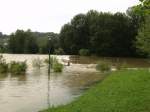
Due to the rainfall, I’m certainly not the only one posting flood images. What you see is a former spur to an island near Windorf (which is close to Vilshofen). The spur ran roughly through the center of the image towards the island. Five days ago, we still went over there to camp. The problem: Our tents are still fully set up on the island, and the fire department had to evacuate our personal belongings. That’s how a week of camping came to an end!
Daniel Rohregger
9. August 2010 (4 Photos)
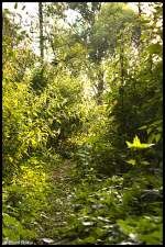
One of three "forest images" whose origin is the woodland area between Oberbruch and Dremmen (both districts of Heinsberg). 08/09/10 18:31
Pascal Schöne
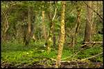
One of three "forest images" whose origin is the woodland area between Oberbruch and Dremmen (both districts of Heinsberg). 08/09/10 18:27
Pascal Schöne
One of three "forest images" whose origin is the woodland area between Oberbruch and Dremmen (both districts of Heinsberg). 08/09/10 18:26
Pascal Schöne
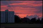
Here you can see a sunset over Schafhausen.
After much consideration, I have come to the conclusion that it fits the theme of landscape since it was taken in the field and it is about the sunset, not whether the high-rise building is there.
09.08.10 20:13
Pascal Schöne
12. August 2010 (6 Photos)
The Walchensee before a threatening weather situation on 25.07.2010
Willi Dressel
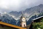
Church of Mittenwald with impressive mountain backdrop in the background (25.7.2010)
Willi Dressel
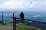
View from Herzogstand towards Staffelsee, Murnau on 27.7.2010
Willi Dressel
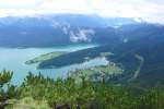
View from Herzogstand towards Walchensee and Wallgau on 27.7.2010
Willi Dressel
14. August 2010 (11 Photos)
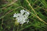
Small white flower, in a meadow in Lehrte, on 13.03.2010.
Thomas Flebbe
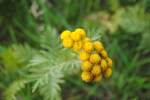
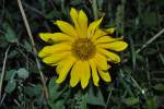
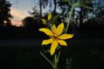
Small yellow flower in a meadow in Lehrte, on 13.08.2010
Thomas Flebbe
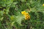
Small yellow flower in a meadow in Lehrte, on 13.08.2010.
Thomas Flebbe
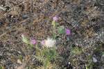
Thistles in a meadow in Lehrte. Photographed on 13.8.2010.
Thomas Flebbe
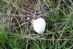
Unknown mushroom species (probably not recommended for consumption), in Lehrte. Photographed on 13.08.2010.
Thomas Flebbe

Unnamed mushroom species (probably not recommended for consumption), in Lehrte. Photographed on 13.08.2010.
Thomas Flebbe

Unnamed mushroom species, (probably not recommended for eating), in Lehrte. Photographed on 13.08.2010
Thomas Flebbe
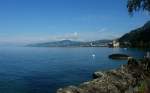
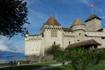
View over Lake Geneva to Château de Chillon, Montreux, and Mont-Pélerin.
(04.08.2010)
Christine Wohlfahrt
15. August 2010 (1 Image)
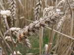
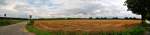
Overripe, fully grown wheat of the 2010 harvest;100813
JohannJ
16. August 2010 (9 Photos)
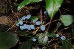
Blue berry species in the meadow of Lehrte station, on 13.08.2010.
Thomas Flebbe
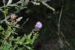
Small purple flower in the meadow of Lehrter Bahnhof, on 13.08.2010.
Thomas Flebbe
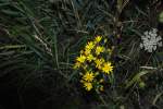
Small yellow flower in the meadow at Lehrter Bahnhof. Shot on 13.08.2010.
Thomas Flebbe
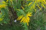
Green plant with yellow flower buds, at Lehrter/Bahnhof, on 30.08.2010.
Thomas Flebbe
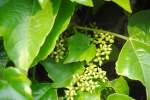
Here, wild grapes are forming. Photo taken on 13.08.2010, in Lehrte.
Thomas Flebbe
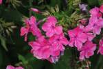
Very colorful flower in our garden in Lehrte, on 14.08.2010.
Thomas Flebbe
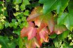
In this leaf, the transition from green to red can already be seen. Photo taken on 13.08.2010 in Lehrte
Thomas Flebbe
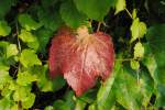
A leaf that has already changed color on a wild hop plant in Lehrter/Bahnhof, on 13.08.2010.
Thomas Flebbe
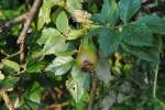
A still green rose hip in a bush in August 2010 (Lehrte).
Thomas Flebbe
17. August 2010 (3 Photos)
18. August 2010 (12 Photos)
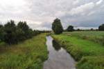
The Burgdorfer Aue is formed by the confluence of several drainage ditches. It flows into the river near Nienhagen. Photo taken near Steinwedel/Lehrte on 16.08.2010.
Thomas Flebbe
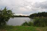
Fish pond near Steinwedel/Lehrte. Photo from 16.08.10.
Thomas Flebbe
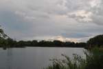
Fish pond near Lehrte/Steinwedel. Photo from 16.08.10.
Thomas Flebbe
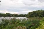
Fish pond near Steinwedel/Lehrte. Photo from 16.08.2010.
Thomas Flebbe
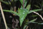
Leaf with something white on it. Photo taken at Lehrter Bahnhof on 13.08.2010.
Thomas Flebbe
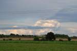
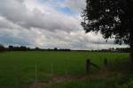
Weather formations near Steinwedel/Lehrte on 16.08.2010
Thomas Flebbe
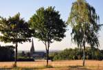
3 deciduous trees by the roadside with a "view" of the church in Euskirchen-Billig - 24.07.2010
Rolf Reinhardt
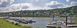
Panoramic image (composed of 2 images) of Oberwinter on the Rhine. In the foreground, the yacht harbor of Oberwinter, in the background the Eifel begins. 06.08.2010
Rolf Reinhardt

Water lily in rainy weather on a pond at the Steinbachtalsperre - 08.08.2010
Rolf Reinhardt
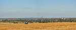
Panoramic image (composed of 3 shots) with a view from the Voreifel over Euskirchen-Stotzheim to the entire Siebengebirge in the background - 24.07.2010
Rolf Reinhardt

Cloud formation over Rheinbach (Rhein-Sieg district) - 30.07.2010
Rolf Reinhardt
20. August 2010 (5 Photos)
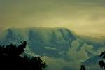
On this day, a heavy rainstorm from the south was forecasted, and the first signs were very impressive to see. The clouds pushed over the Dents-de-Midi. It looked as if it was about to overflow. A few hours later, the rain started as announced.
(14.08.2010)
Christine Wohlfahrt
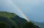
After hours of rain, the sun on one hand and the dark clouds on the other gave us this wonderful atmosphere.
(15.08.2010)
Christine Wohlfahrt
21. August 2010 (8 Photos)
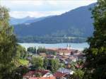
View of Lake Tegernsee with the former Benedictine monastery (now a castle) from the northeast; 25.07.2010
Volkmar Döring