landschaftsfotos.eu Linie landschaftsfotos.eu
Hello guest, you are not logged in. Log in | Create account 
Forum   Contact   Legal notice
German English 
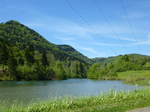
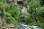
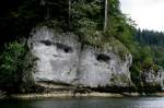
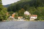
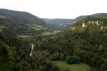
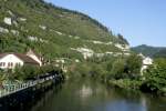
in the Doub valley, near St. Hippolyte, May 2017
rainer ullrich

Frankreich / Fl� / Doubs

403 1200x812 Px, 12.07.2017

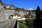
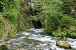
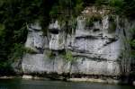
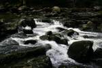
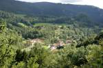
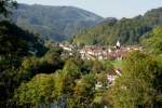
in the Doub valley, near St. Hippolyte, May 2017
rainer ullrich

Frankreich / Fl� / Doubs

409 1200x900 Px, 12.07.2017

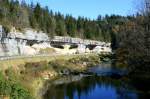
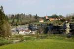
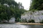
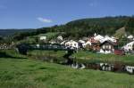
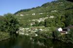
One of the most fantastic loops is formed by the Doubs at the limestone cliffs near Morteau; 22.10.2011
André Breutel

Frankreich / Fl� / Doubs

547 800x533 Px, 17.11.2011

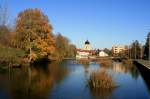
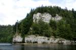
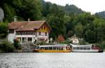
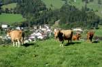
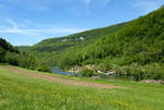
One of the most fantastic loops is formed by the Doubs at the limestone cliffs near Morteau; 22.10.2011
André Breutel

Frankreich / Fl� / Doubs

576 800x533 Px, 17.11.2011

On the Doubs near Pontarlier; 22.10.2011
André Breutel

In the karst region of the French Jura, a river originates that breathtakingly makes its way through the Jura. It is the Doubs, for me one of the most beautiful rivers in Europe. Over its 453 km length from Mouthe to Verdun-sur-le-Doubs, it initially winds eastward, flowing through beautiful valleys, several lakes, and plunging 27 meters deep. At Saint-Ursanne, it changes direction and flows northwest towards Belfort, the largest city on its banks. There it turns westward and then flows into the Saône. Source la Doubs on 27.08.2011
André Breutel

Frankreich / Fl� / Doubs

778 800x533 Px, 18.09.2011

The Doubs originates in an impressive way. As a karst river, it leaves its source cave near Mouthe as a fairly large river. Near Pontarlier, large amounts of its water seep away and reemerge at the karst spring of the Loun. Although the Doubs is 453 km long, due to its M-shaped course, the source and mouth are only 90 km apart. Source de Doubs on 17.08.2011
André Breutel

Frankreich / Fl� / Doubs

791 800x533 Px, 18.09.2011

A typical karst landscape with bizarrely shaped rocks is traversed by the Doubs along wide parts of its upper course. The Val de Doubs near Pontarlier; 22.04.2011
André Breutel

Frankreich / Fl� / Doubs

683 800x533 Px, 18.09.2011

On its course through the Jura, the Doubs flows through several lakes. For example, the well-known Lac des Brenets near Le Locle with its rock formations; 18.09.2010
André Breutel

Frankreich / Fl� / Doubs

592 800x534 Px, 18.09.2011

Rock formations at Lac des Brenets; 18.09.2010
André Breutel

Frankreich / Fl� / Doubs

574 800x533 Px, 18.09.2011

Rock formations at Lac des Brenets; 18.09.2010
André Breutel

Frankreich / Fl� / Doubs

562 800x533 Px, 18.09.2011

Rock formations at Lac des Brenets; 18.09.2010
André Breutel

Frankreich / Fl� / Doubs

803 800x533 Px, 18.09.2011

Excursion trips on the Lac des Brenets are offered from both the French and Swiss shores. The destination is the Saut-du-Doubs. In the picture, the boat dock on the French shore at the Saut-du-Doubs; 18.09.2010
André Breutel

Frankreich / Fl� / Doubs

536 800x521 Px, 15.09.2011

The end of Lac des Brenets before the Saut-du-Doubs; 18.09.2010
André Breutel

Frankreich / Fl� / Doubs

559 800x534 Px, 15.09.2011

Behind the Lac des Brenets, rapids begin in the Doubs; 18.09.2010
André Breutel

Frankreich / Fl� / Doubs

496 800x534 Px, 15.09.2011

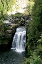
Between the Lac des Brenets and the reservoir Lac de Moron, the Doubs plunges 27 m into the depths. As a result of a paleo-historical landslide 14,000 years ago, the Saut-du-Doubs was formed; 18.09.2010
André Breutel

Frankreich / Fl� / Doubs

570 534x800 Px, 15.09.2011

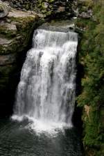
The 27 m high Saut-du-Doubs on the border between Switzerland and France; 18.09.2010
André Breutel

Frankreich / Fl� / Doubs

497 534x800 Px, 15.09.2011

For many kilometers, the Doubs forms the natural border between France and Switzerland. View into the Val du Doubs near Charmauvillers; 18.09.2010
André Breutel

Frankreich / Fl� / Doubs

575 800x534 Px, 15.09.2011

For many kilometers, the Doubs forms the natural border between France and Switzerland. View into the Val du Doubs near Goumois; 29.08.2010
André Breutel

Frankreich / Fl� / Doubs

540 800x534 Px, 15.09.2011

The Doubs flows through the Swiss canton of Jura for a length of 29 km. This part of the Doubs is called Clos du Doubs. The Doubs at Soubey; 19.09.2010
André Breutel

Frankreich / Fl� / Doubs

553 800x533 Px, 15.09.2011

View into the Clos-du-Doubs; 19.09.2010
André Breutel

Frankreich / Fl� / Doubs

518 800x533 Px, 15.09.2011

The Doubs in Saint-Ursanne; 19.09.2010
André Breutel

Frankreich / Fl� / Doubs

499 800x534 Px, 14.09.2011

Saint-Ursanne in the Clos du Doubs; 19.09.2010
André Breutel

Frankreich / Fl� / Doubs

462 800x534 Px, 14.09.2011

The Doubs in Saint-Ursanne; 19.09.2010
André Breutel

Frankreich / Fl� / Doubs

484 800x534 Px, 14.09.2011