landschaftsfotos.eu Linie landschaftsfotos.eu
Hello guest, you are not logged in. Log in | Create account 
Forum   Contact   Legal notice
German English 
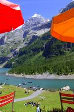
View of Lake Oeschinen. (Photo taken on 04.08.2007)
Hans-Gerd Seeliger

Schweiz / Kanton Bern / Berner Oberland

1048  3 682x1024 Px, 29.10.2012

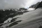
View from the left lateral moraine over the Lötsche Glacier towards the Lötschen Pass. While the clouds are still hanging on the Bernese side, the sun is already shining from the Valais side. 6.7.2009.
Jonas Schaufelberger

Schweiz / Kanton Bern / Berner Oberland

985 800x533 Px, 11.07.2009

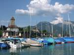
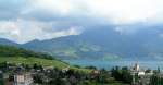
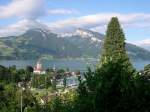
Spiez on Lake Thun with harbor, castle, and castle church. In the background on the left, the Sigriswiler Rothorn and on the right, the Niederhorn.
Jens Kaubisch

Schweiz / Kanton Bern / Thun, Thunersee

1753 800x600 Px, 14.06.2009

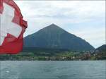
The Niesen (2362 m) near Spiez photographed on 29.07.08 from a boat on Lake Thun. (Jeanny)
De Rond Hans und Jeanny

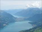
View from the Niesen over Lake Thun, Interlaken, and Lake Brienz. On the horizon from left to right: Brienzer Rothorn (2350 m), Brisen (2404 m), Wissigstock (2887 m), Titlis (3238 m), Wildgerst (2891 m), and Sustenhorn (3504 m). 29.07.08 (Jeanny)
De Rond Hans und Jeanny

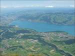
View of Lake Thun, with Spiez located in the bay on the right and the town of Thun visible on the far left. Various mountains in the Black Forest can be seen on the horizon. 29.07.08 (Hans)
De Rond Hans und Jeanny

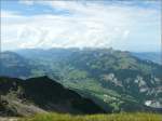
View into the Simmental photographed from Niesen Kulm on 29.07.08.<br>On the horizon from left to right: Schopfenspitz (2104 m), Kaiseregg (2185 m), Scheibe (2151 m), Ochsen (2188 m), Gantrisch (2175 m), Stockhorn (2190 m), and Chaumont (1180 m). (Jeanny)
View into the Simmental photographed from Niesen Kulm on 29.07.08.
On the horizon from left to right: Schopfenspitz (2104 m), Kaiseregg (2185 m), Scheibe (2151 m), Ochsen (2188 m), Gantrisch (2175 m), Stockhorn (2190 m), and Chaumont (1180 m). (Jeanny)

De Rond Hans und Jeanny

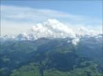
The Jungfrau region photographed from Niesen Kulm on 29.07.08. From left to right: Schreckhorn (4078 m), Eiger (3970 m), Mönch (4158 m), Jungfrau (4158 m), which stubbornly hid behind the clouds, Ebnefluh (3960 m), Grosshorn (3754 m), and Breithorn (3785 m). (Hans)
De Rond Hans und Jeanny

On this day, the cloud cover hung quite low over Lake Thun and Spiez. 03.08.07
De Rond Hans und Jeanny

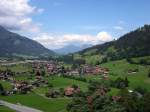
View from the Tellenburg near Frutigen towards Lake Thun. Frutigen lies in the foreground, and in the background, the Sigriswiler Rothorn and Niederhorn can be seen.
Jens Kaubisch

Schweiz / Kanton Bern / Thun, Thunersee

1646 800x600 Px, 11.08.2007

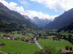
View from the Tellenburg near Frutigen towards the Lötschberg. Below lies Kandergrund and further back Blausee and Kandersteg. (12.07.2007)
Jens Kaubisch

Schweiz / Kanton Bern / Thun, Thunersee

1020 800x600 Px, 11.08.2007

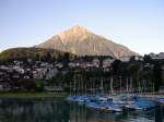
The pyramid of Switzerland and the local mountain of Spiez on Lake Thun - the 2,362m high Niesen. In the foreground, Spiez can be seen. The mountain peak is most easily reached by the longest funicular railway in the world from Mülenen station.
Jens Kaubisch

Schweiz / Kanton Bern / Thun, Thunersee

1651 800x600 Px, 11.08.2007

View over Spiez Castle and Lake Thun to the Sigriswiler Rothorn and Niederhorn on 13.07.2007
Jens Kaubisch

Schweiz / Kanton Bern / Thun, Thunersee

1281 800x600 Px, 11.08.2007

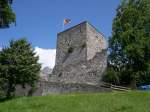
Almost everything that remains of the Tellenburg can be seen here. The tower and part of the fortifications. The Tellenburg is located in the Frutigtal, about 10 km south of Spiez. From the tower, you have a fantastic view over the entire valley, but to the south, the Lötschberg blocks the further view.
Jens Kaubisch

Schweiz / Kanton Bern / Bern

1256 800x600 Px, 10.08.2007