




Gifiz-Rundweg, Elgersweier photos
5 Photos
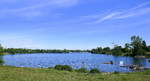
Offenburg, view over the 900m long, 300m wide, and approximately 19m deep Gifizsee from south to north, a nature reserve area in the foreground, at the northern end is the beach with sandy shore, June 2020
rainer ullrich
rainer ullrich
Galerien / besondere Themen / Gew䳳er, Deutschland / Baden-W�emberg / Ortenau
290 1200x649 Px, 17.06.2020
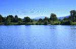
Offenburg, view from west to east over the Gifizsee, on the horizon the Hornisgrinde, at 1165m the highest mountain of the northern Black Forest, June 2020
rainer ullrich
rainer ullrich
Galerien / besondere Themen / Gew䳳er, Deutschland / Baden-W�emberg / Ortenau
284 1200x776 Px, 17.06.2020
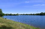
Offenburg, the Gifizsee within the city area, created as a gravel pit in the early 1950s, opening of the beach bath in 1964, and used as a local recreation area to this day, June 2020
rainer ullrich
rainer ullrich
Galerien / besondere Themen / Gew䳳er, Deutschland / Baden-W�emberg / Ortenau
315 1200x781 Px, 17.06.2020
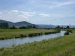
The Kinzig leaves the eponymous valley in the central Black Forest and flows through the Rhine plain, June 2013
rainer ullrich
rainer ullrich
Deutschland / Baden-W�emberg / Rheinebene, Galerien / besondere Themen / Gew䳳er
719 1024x768 Px, 19.06.2013
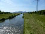
The Kinzig leaves the Black Forest and flows through the Rhine plain near Offenburg, June 2013
rainer ullrich
rainer ullrich
Deutschland / Baden-W�emberg / Rheinebene, Galerien / besondere Themen / Gew䳳er
829 1024x775 Px, 19.06.2013