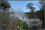
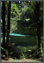
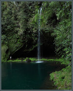
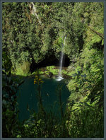
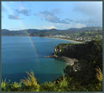
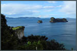
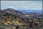
View from the edge of Mount Ngauruhoe towards Pukekaikiore.
(ID 35838)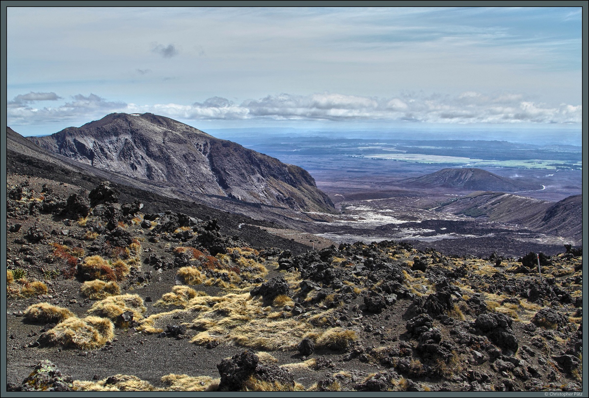
View from the edge of Mount Ngauruhoe towards Pukekaikiore. (18.10.2016)
Christopher Pätz 28.11.2016, 419 Views, 0 Comments * automatically translated
EXIF: Canon Canon EOS 500D, Exposure time: 0.003 s (1/400) (1/400), Aperture: f/8.0, ISO200, Focal length: 24.00 (24/1)
0 Comments, All comments
Neuseeland / Nordinsel / Alles
445 1200x810 Px, 13.12.2016
Neuseeland / Nordinsel / Alles
394 682x900 Px, 28.11.2016
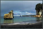
Dark volcanic rock at the edge of Mount Ngauruhoe. In the background, the Red Crater, another volcano of the Tongariro massif. (18.10.2016)
Christopher Pätz
Christopher Pätz
Neuseeland / Nordinsel / Alles
401 1200x809 Px, 28.11.2016
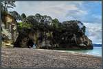
The Tongariro massif is a collection of active volcanoes that have been part of a national park since 1894. On the left is Mount Ngauruhoe, 2291 m high, known as the "Mount Doom" from The Lord of the Rings. (18.10.2016)
Christopher Pätz
Christopher Pätz
Neuseeland / Nordinsel / Alles
399 1200x809 Px, 28.11.2016