landschaftsfotos.eu Linie landschaftsfotos.eu
Hello guest, you are not logged in. Log in | Create account 
Forum   Contact   Legal notice
German English 

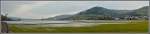
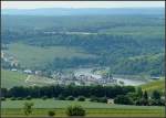
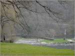
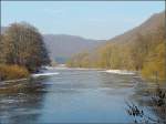
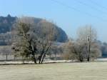
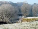
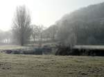
On 18.02.10, the Alzette had flooded the valley between Lorentzweiler and Lintgen (panoramic image created from 5 individual shots).

(ID 15234)
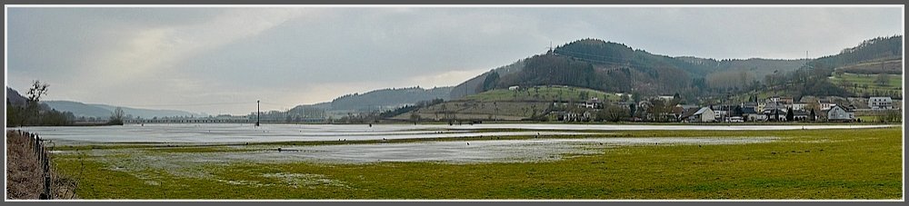

On 18.02.10, the Alzette had flooded the valley between Lorentzweiler and Lintgen (panoramic image created from 5 individual shots).

On 18.02.10, the Alzette had flooded the valley between Lorentzweiler and Lintgen (panoramic image created from 5 individual shots).

De Rond Hans und Jeanny http://wwwfotococktail-revival.startbilder.de 21.02.2010, 1000 Views, 2 Comments * automatically translated
2 Comments, All comments
Christine Wohlfahrt 24.2.2010 19:23

Hello Hans and Jeanny,
you have created a beautiful panoramic image. I hope you didn't get wet feet while taking the shots.
Best regards, Christine

automatically translated

De Rond Hans und Jeanny 24.2.2010 20:59

Thank you for the kind comment, Christine.
We were standing on a slightly elevated spot, so fortunately our feet stayed dry. What looks like a lot of water in the picture was mostly ice, only at the outer edges did it start to thaw.
Best regards to Blonay.
Hans and Jeanny
automatically translated

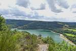
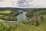
View from a hiking trail near Kaundorf (L), over the reservoir towards Lultzhausen and Insenborn. 07.2025
De Rond Hans und Jeanny

View from a hiking trail near Kaundorf (L), looking south, the bridge on the left belongs to the Esch Sauer - Insenborn road. 07.2025
De Rond Hans und Jeanny

View from the hiking trail at the exit of Echternach over the border river Sauer to the pedestrian bridge from Echternach (L) to Echternacherbrücke (D). 10.05.2024
De Rond Hans und Jeanny

View from the hiking trail on the edge of the Sauer (the border river) of the old Sauer bridge, which connects Echternach (L) with Echternacherbrücke (D). 10.05.2024
De Rond Hans und Jeanny

More Bilder from "Luxemburg / Gewässer / Flüsse und Seen"
Bilder from the area

Lëtzebuerg > Canton Mersch > Lintgen