landschaftsfotos.eu Linie landschaftsfotos.eu
Hello guest, you are not logged in. Log in | Create account 
Forum   Contact   Legal notice
German English 

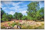
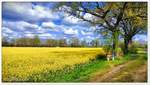
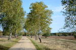
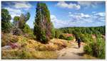
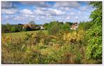
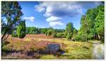
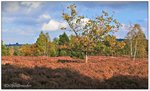
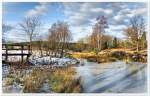
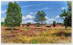
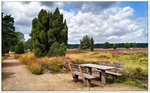
In the foreground, rubble and debris, from which the Lüneburg Heath was formed during the Saale Ice Age.

(ID 40768)
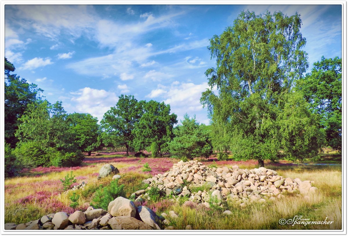

In the foreground, rubble and debris, from which the Lüneburg Heath was formed during the Saale Ice Age. After the ice melted in a warmer period, sand and stone remained. To this day, only a thin layer of humus can be found in the nature reserve.  
This provides just enough nutrients to sustain over 800 heath-like plants.  
Except for a few raised bogs, water cannot remain on the surface, so it collects in lower-lying areas, forming spring pots. Thus, the heath is the birthplace of many small rivers, such as the Wümme, Haverbeeke, Fintau, Böhme, Veerse, Oste, and in the east the Schmale Aue and the Seeve, to name just a few. Besides the famous heathlands, the landscape consists of 60% forest; raised bogs as well as fields complete the picture. The stones in the foreground were removed from such a grain field; otherwise, machinery could not operate there. The latter areas are usually managed by the VNP (Nature Park Association). August 2020

In the foreground, rubble and debris, from which the Lüneburg Heath was formed during the Saale Ice Age. After the ice melted in a warmer period, sand and stone remained. To this day, only a thin layer of humus can be found in the nature reserve.
This provides just enough nutrients to sustain over 800 heath-like plants.
Except for a few raised bogs, water cannot remain on the surface, so it collects in lower-lying areas, forming spring pots. Thus, the heath is the birthplace of many small rivers, such as the Wümme, Haverbeeke, Fintau, Böhme, Veerse, Oste, and in the east the Schmale Aue and the Seeve, to name just a few. Besides the famous heathlands, the landscape consists of 60% forest; raised bogs as well as fields complete the picture. The stones in the foreground were removed from such a grain field; otherwise, machinery could not operate there. The latter areas are usually managed by the VNP (Nature Park Association). August 2020

Reiner Spangemacher 22.08.2020, 379 Views, 0 Comments * automatically translated

EXIF: NIKON COOLPIX P610, Date 2020:08:21 16:14:28, Exposure time: 10/5000, Aperture: 48/10, ISO100, Focal length: 43/10
0 Comments, All comments
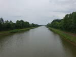
Elbe Lateral Canal near Lüder, Uelzen District (20.06.2026)
Peter Reiser

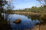
Gartower Lake near Gartow, Lüchow-Dannenberg district (20.06.2026)
Peter Reiser

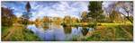
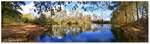
The Fleetsee in Fintel from another perspective, designed as a rainwater retention basin and now a local recreation area. Photo taken in early November 2025.
Reiner Spangemacher

Autumn, November 2025, the Fleetsee in Fintel, Rotenburg Wümme district. It was designed as a stormwater retention basin for the town, today a local recreational area.
Reiner Spangemacher

More Bilder from "Deutschland / Niedersachsen / Lüneburger Heide und Wendland"
Bilder from the area

Deutschland > Niedersachsen > Heidekreis > Schneverdingen > Langeloh