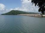



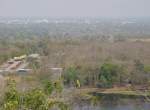
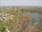
View from the summit of the Khao Kradong volcano at 265 meters above sea level over the Isaan landscape and the city of Buri Ram in the background.
(ID 18321)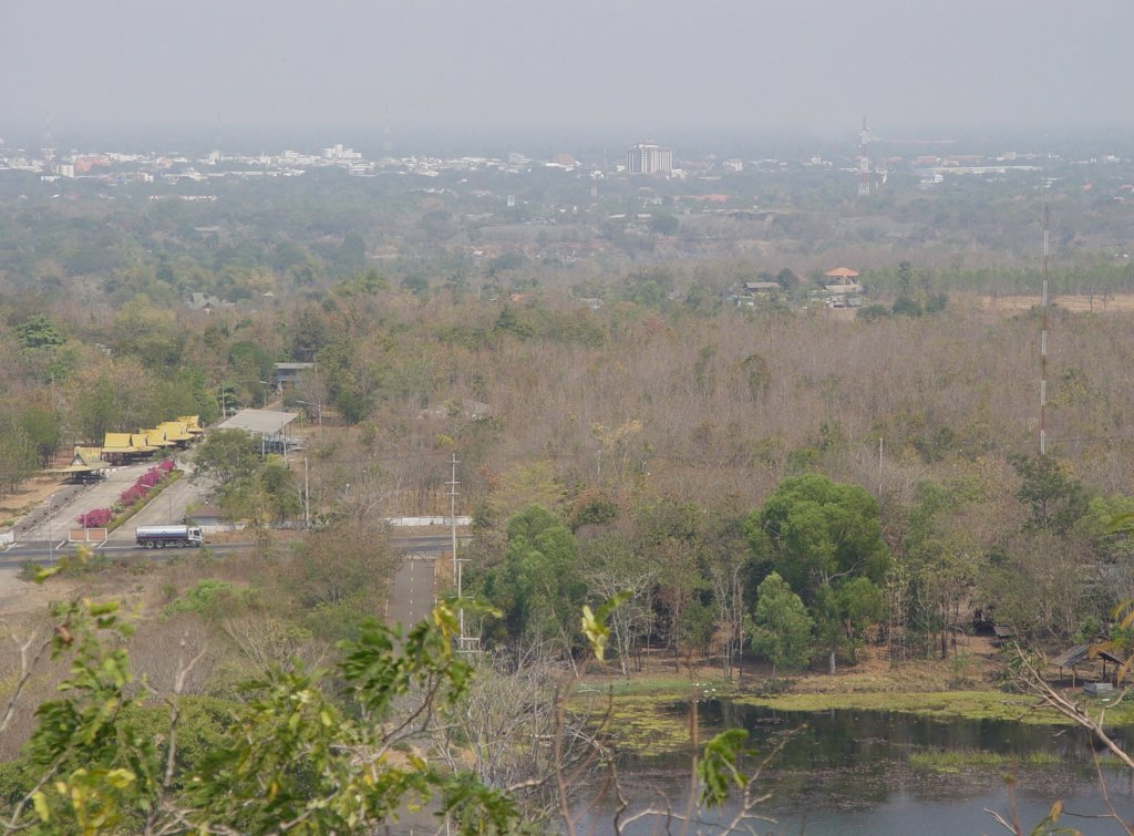
View from the summit of the Khao Kradong volcano at 265 meters above sea level over the Isaan landscape and the city of Buri Ram in the background. The small lake at the bottom edge of the image is the former caldera of the volcano (06.02.2011)
Volker Hunsche 09.02.2011, 569 Views, 0 Comments * automatically translated
0 Comments, All comments
Galleries / Weather phenomena / Thunderstorm, Galleries / Weather phenomena / Clouds, Thailand / North / Other
131 1200x800 Px, 08.09.2025
Thailand / North / Other
410 1200x797 Px, 20.06.2016
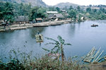
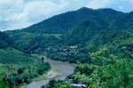
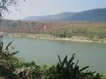
The Ruak River forms the border between Thailand (below) and Myanmar (above). Image from slide. Shot: February 1989.
Hans Christian Davidsen
Hans Christian Davidsen
Thailand / North / Other
429 1200x794 Px, 20.06.2016
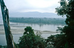
Mekong at the Golden Triangle as seen from Thailand. In the background, the territory of Laos is visible. Slide image. Shot: February 1989.
Hans Christian Davidsen
Hans Christian Davidsen
Thailand / North / Other
381 1200x786 Px, 20.06.2016