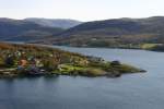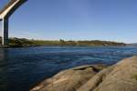



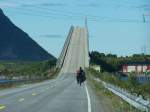
"Phew, that's steep!" taken on the Vesteralen island Andoya in July 2007
(ID 5532)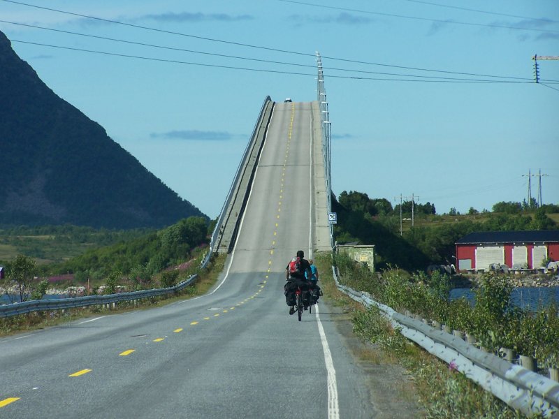
"Phew, that's steep!" taken on the Vesteralen island Andoya in July 2007
Konrad Neumann 10.04.2008, 2499 Views, 4 Comments * automatically translated
Great shot!
But where exactly is this?
Best regards, Matthias
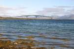
This is the bridge over the Risøysundet. The strait separates Hinnøya from Andøya. The view shows the southern ramp of Hinnøya. Below the bridge is the Hurtigruten pier of Risøyhamn. In the morning, you can experience the arrival of the southbound ship from the bridge as it winds through the Risøy channel and then docks at Risøyhamn.
http://www.breutel.de/Hurtigruten/htm/MS432.html
http://www.schiffbilder.de/name/einzelbild/number/272/kategorie/Unternehmen~Norwegen~Hurtigruten/digitalfotografie/72.html
http://www.schiffbilder.de/name/einzelbild/number/1220/kategorie/Unternehmen~Norwegen~Hurtigruten.html
I don’t know how many times I have walked over the bridge. You can also nicely observe seals under the bridge. The image already evokes beautiful memories and much anticipation, as we are going to Stave in June for the Northern Gannet safari.
Best regards
André
The bridge is so high that a fully grown 17,000-ton passenger ship can pass underneath it during the Easter flood.
http://www.breutel.de/Hurtigruten/htm/MS433.html
Regards
André
Sorry! The question was not answered clearly. 30 meters above sea level is the exact elevation.
Do you speak Norwegian? Here you have all the information:
http://no.wikipedia.org/wiki/And%C3%B8ybrua

JohannJ
362 1200x900 Px, 16.03.2024
460 1200x900 Px, 14.08.2016
Reinhard Kühn
723 1200x797 Px, 03.12.2015
Reinhard Kühn
766 1200x830 Px, 03.12.2015