landschaftsfotos.eu Linie landschaftsfotos.eu
Hello guest, you are not logged in. Log in | Create account 
Forum   Contact   Legal notice
German English 

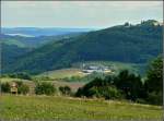
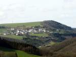
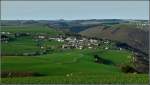
This image turns the usual perspective we railway photographers have of this landscape upside down.

(ID 18109)
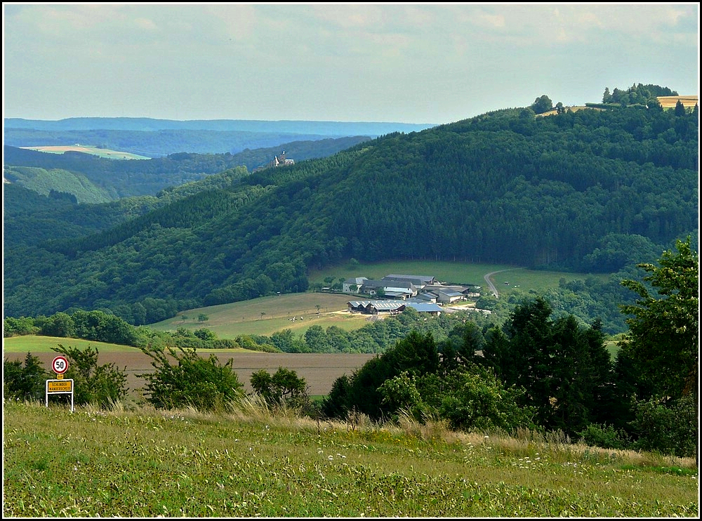

This image turns the usual perspective we railway photographers have of this landscape upside down. At the bottom left in the valley is the Goebelsmühle stop, the large agricultural estate is the  Féitschterhaff,  which is located directly above the portal of the tunnel of the same name, and you can also see that Bourscheid Castle is not situated on the highest elevation of this region. The photo was taken on 01.08.2010 in Schlindermanderscheid. (Jeanny)

This image turns the usual perspective we railway photographers have of this landscape upside down. At the bottom left in the valley is the Goebelsmühle stop, the large agricultural estate is the "Féitschterhaff," which is located directly above the portal of the tunnel of the same name, and you can also see that Bourscheid Castle is not situated on the highest elevation of this region. The photo was taken on 01.08.2010 in Schlindermanderscheid. (Jeanny)

De Rond Hans und Jeanny http://wwwfotococktail-revival.startbilder.de 17.01.2011, 813 Views, 0 Comments * automatically translated
0 Comments, All comments
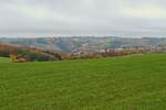
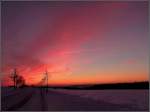
Burning sky shortly before sunrise, seen near Wiltz, on 31.11.2025, 07:05 AM
De Rond Hans und Jeanny

Autumn landscape, taken between Alscheid and Merkholtz (L). 11.2025
De Rond Hans und Jeanny

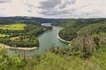
View from a hiking trail near Kaundorf (L), over the reservoir towards Lultzhausen and Insenborn. 07.2025
De Rond Hans und Jeanny

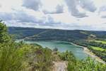
View from a hiking trail near Kaundorf (L), looking south, the bridge on the left belongs to the Esch Sauer - Insenborn road. 07.2025
De Rond Hans und Jeanny

More Bilder from "Luxemburg / Landschaften / Verschiedenes"
Bilder from the area

Lëtzebuerg > Canton Diekirch > Bourscheid