




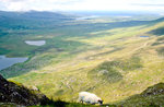
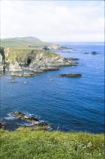
View from the 456 m above sea level O'Connor Pass towards Dingle.
(ID 25462)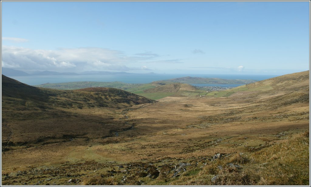
View from the 456 m above sea level O'Connor Pass towards Dingle. In the background, the Iveragh Peninsula can be seen, better known for the "Ring of Kerry" that runs over it
April 20, 2013
Stefan Wohlfahrt http://klein-aber-fein---imagination.startbilder.de/ 28.04.2013, 745 Views, 0 Comments * automatically translated
EXIF: SONY DSLR-A350, Date 2013:04:20 10:35:10, Exposure time: 0.006 s (1/160) (1/160), Aperture: f/9.0, ISO100, Focal length: 18.00 (180/10)
0 Comments, All comments
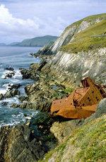
Irland / Co. Kerry / Dingle Halbinsel
379 786x1200 Px, 12.06.2016
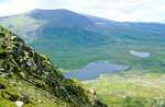
Irland / Co. Kerry / Dingle Halbinsel
363 1200x788 Px, 11.06.2016

Irland / Co. Kerry / Dingle Halbinsel
455 1200x774 Px, 11.06.2016
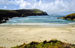
Irland / Co. Kerry / Dingle Halbinsel
418 1200x780 Px, 11.06.2016
Bilder from the area
Éire / Ireland > Munster > County Kerry > Kenmare Municipal District > Glin ED > Ballybowler North
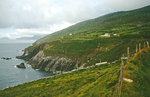
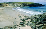

8,02 km
9,31 km
13,48 km
13,54 km
14,52 km
14,52 km
16,98 km
17,69 km
17,69 km
17,70 km
19,27 km
86,83 km
87,46 km
100,23 km
102,41 km